Mt Tyndall
After an attempt at the Tuolumne Triple Crown with Kristi two weeks prior, a fire was rekindled within me for big high alpine adventures. This summer I dove completely into mountain biking (which was an extremely fun and rewarding learning experience) however summer was rapidly approaching its end without any climbing objectives checked off the tick-list.
I am lucky to have many excellent adventure partners but when planning for this weekend logistics and personal objectives weren't aligning and I found myself going solo. Climbing and mountaineering media is full of daring solo achievements but this was my first time venturing into the high alpine alone. I needed to find an objective that met the level of risk I was willing to take on, was not too technically challenging, but still ambitious and exciting.
Having not summited a 14er before summitting one seemed like a good goal and I searched the list of California's highest peaks, comparing the difficulty with the availability of last minute wilderness permit availability (in the process I added many of the other peaks to my tick list, Mt Sill in particular caught my eye for a future ascent). After looking at several options I was lead to Mt Tyndall via the Shepherd Pass trail. The route was straightforward (although it sounded like a strenuous hike) and beta for the climb was relatively simple and at a low difficulty grade (Class 3) that I felt comfortable climbing alone.
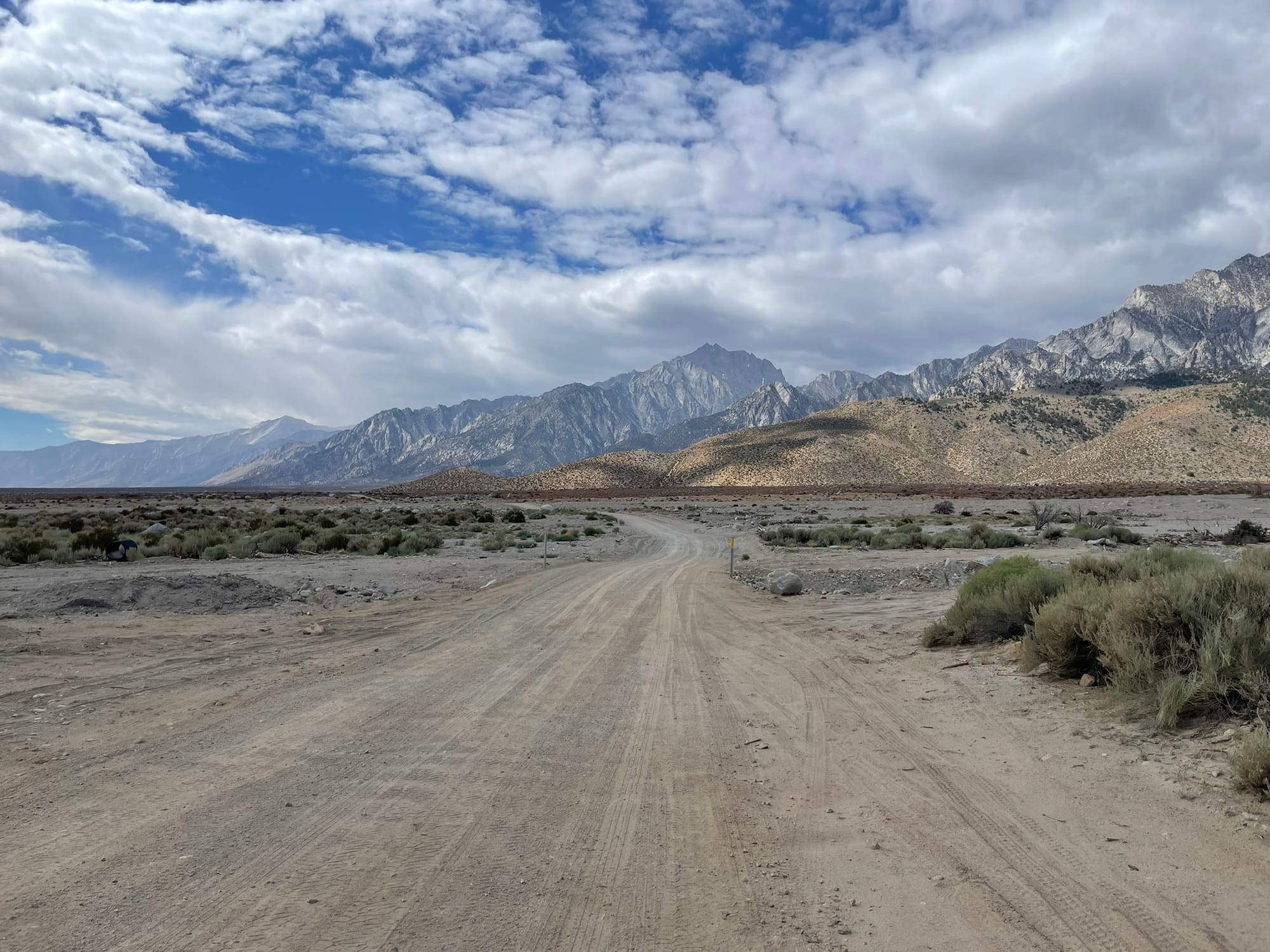
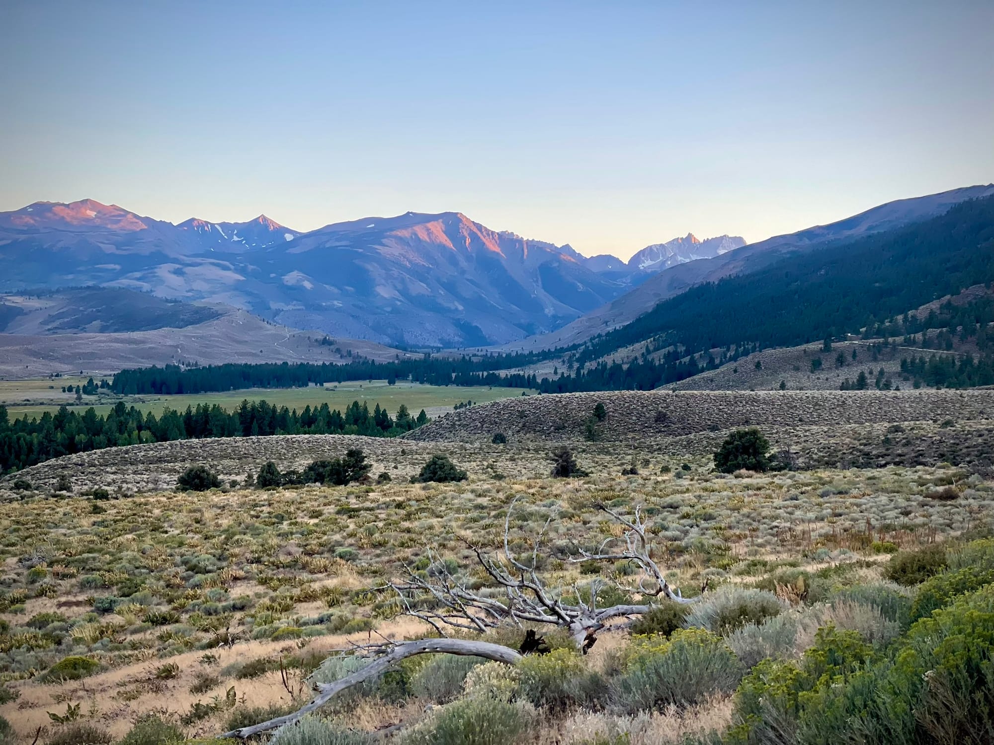
The next day I left Reno before dawn and made the 5 hour drive south to the trailhead (the long drive was definitely my least favourite part of this trip, although seeing the sunrise over the Sierras makes it a lot more enjoyable). A coffee and breakfast stop in Bishop revived me after hours of driving (including the purchase of an overpriced branded hat, which I had forgotten to bring) but added nearly an hour to my morning.
Just before 11am I was starting on the Shepherd Pass Trail which follows Symmes Creek to the base of a winding ascent to Symmes Saddle. This lower section of trail crosses the sandy wash of Symmes Creek many times and at each crossing disappears on the opposite bank. Route finding was more difficult than expected but after some backtracking I was back on the trail. Thankfully after it exits the creek wash the trail becomes obvious and easy to follow. I found the difficulty of the hike perfect for my fitness, the grade was shallow enough to keep a good pace but still a challenge that kept me working hard.
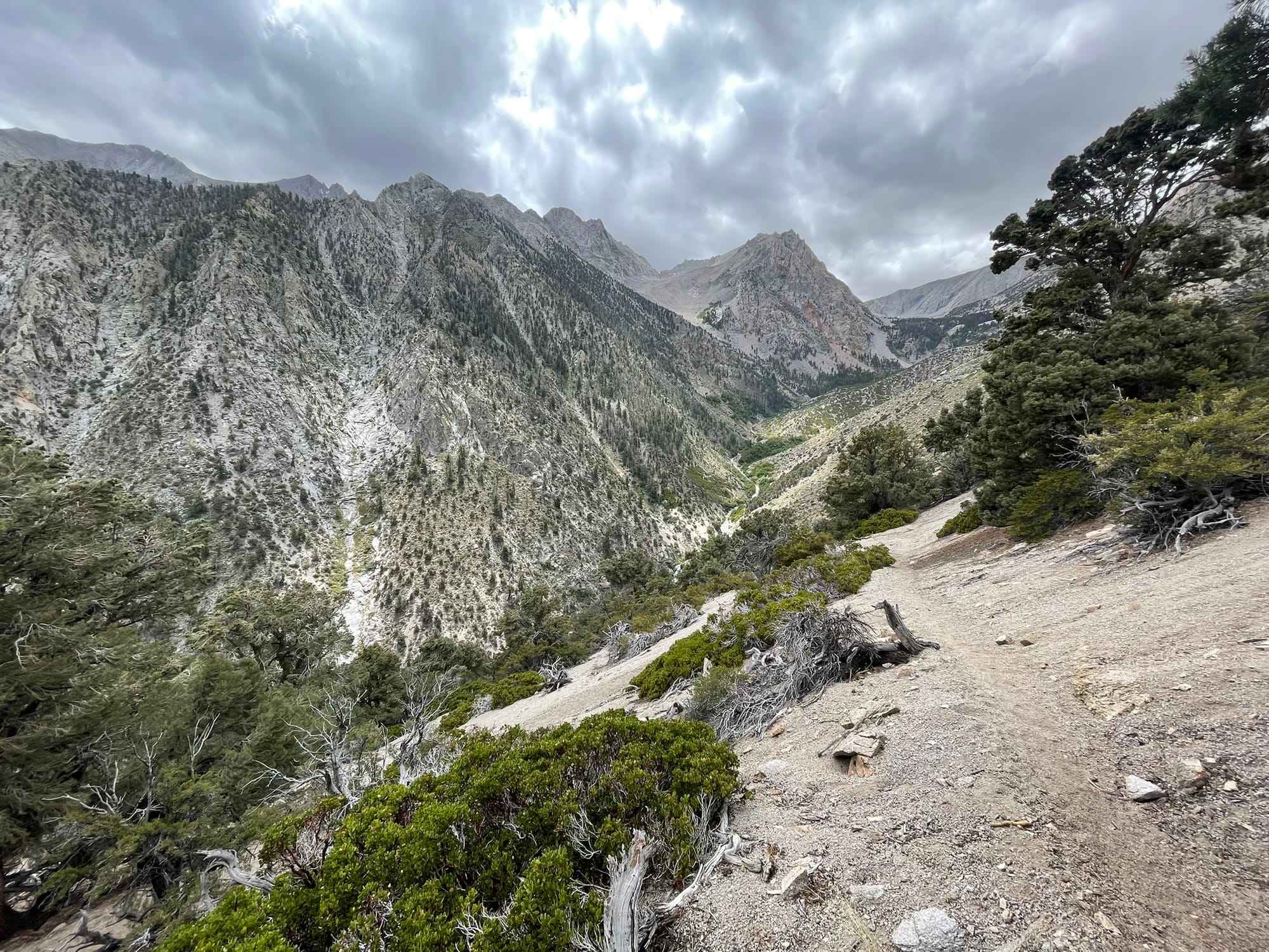
From the saddle the trail loses some elevation as it traverses the hillside above Shepherd Creek. The walls of the drainage are steep and entirely composed of decomposed granite making for some tricky hiking in spots where erosion is taking hold. Once the trail starts climbing again the first respite is Mahogany Flat. Some choose to camp here but I reached the area fairly early at 2pm with plenty of time to keep moving onward. Instead, I found a perfectly flat, warm, and sunny rock and took one of the best naps I've ever had!
Continuing on the next section of trail keeps climbing up the drainage, roughly following alongside Shepherd Creek. Anvil Camp is the next milestone, which has great campsites (nice flat large areas under old pines) and readily available water. Everyone I met on trail was either heading to, or coming from, this camp spot and it's clear why. However to be as close to Tyndall as possible for the climb the next morning I continued on hiking to Pothole Camp a short distance further up the trail. The camp is aptly named, it's situated in a small grassy/bushy/rocky depression with limited space for setting up, but it's workable and that little bit closer to my objective.
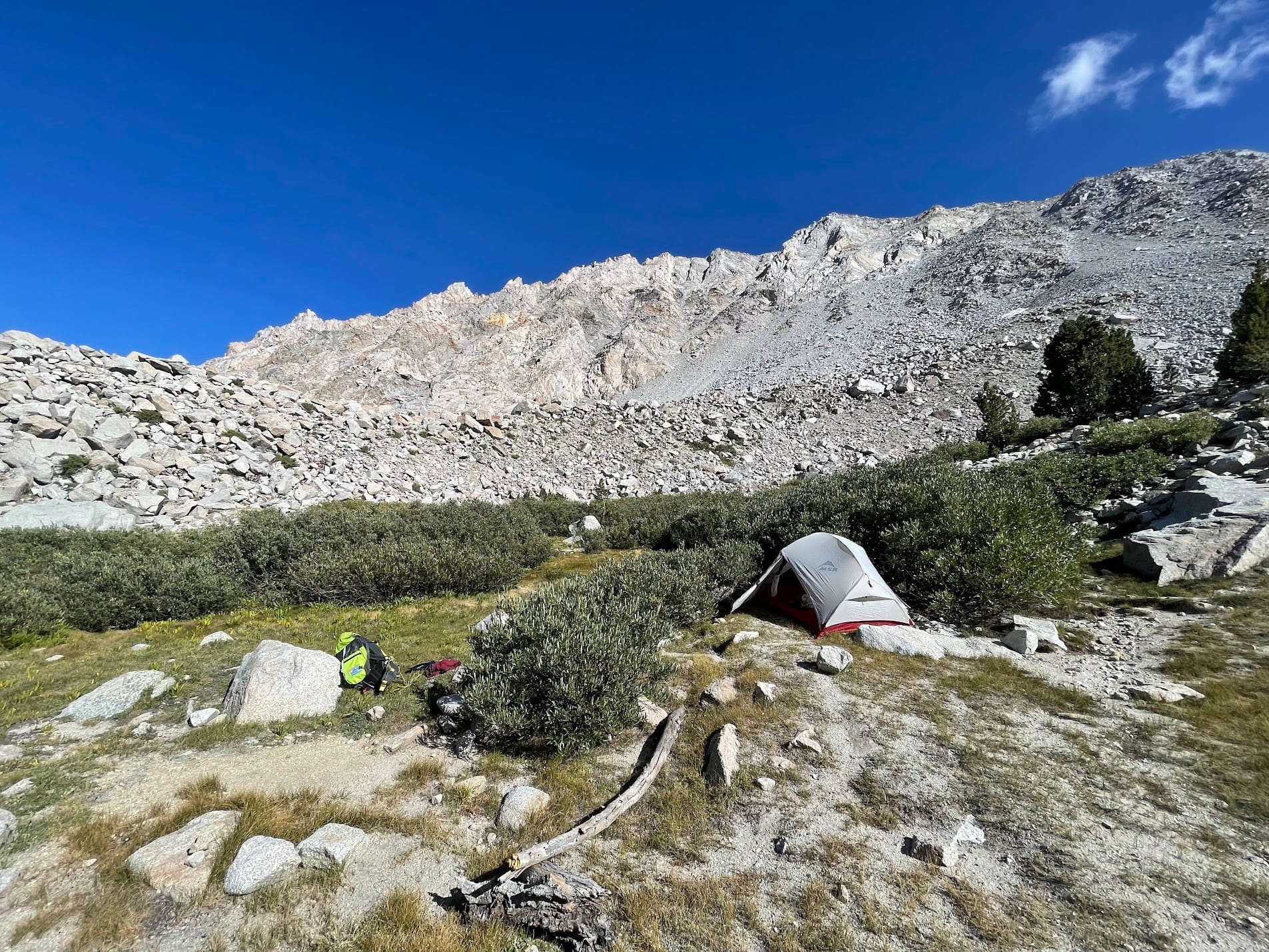
With camp set up I purified and refilled on water, rearranged my gear for the climb in the morning, and rehydrated dinner in time to get an early night and as much rest as possible. I found it hard to rest that night and tossed around going in and out of sleep. Likely suddenly jumping to ~11,000ft in altitude from Reno's leisurely 4,500ft had something to do with it. Before I knew it my 2:30am alarm was going off and I begrudgingly dragged myself out of my sleeping bag to get water boiling for coffee.
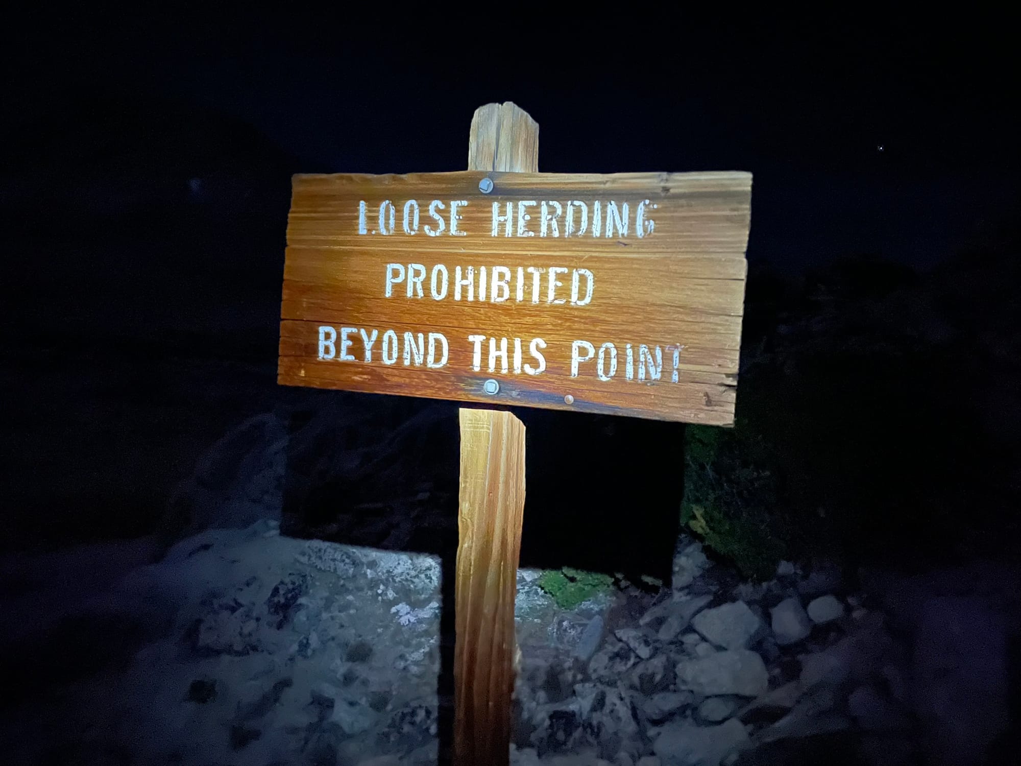
As I was stashing my bear vault at 2:45am I saw a light around the corner coming into Pothole Camp. It was a gent named Roger who I'd met in the parking lot the day before and who was attempting Mt Williamson in a single push. He'd been hiking alone all night and we decided to stick together for a while as we navigated the scree and boulder field leading to the pass. I was more rested than he was (and hadn't had a double knee replacement, what a champ!) so we parted ways to go at our own pace as the climb became more strenuous.
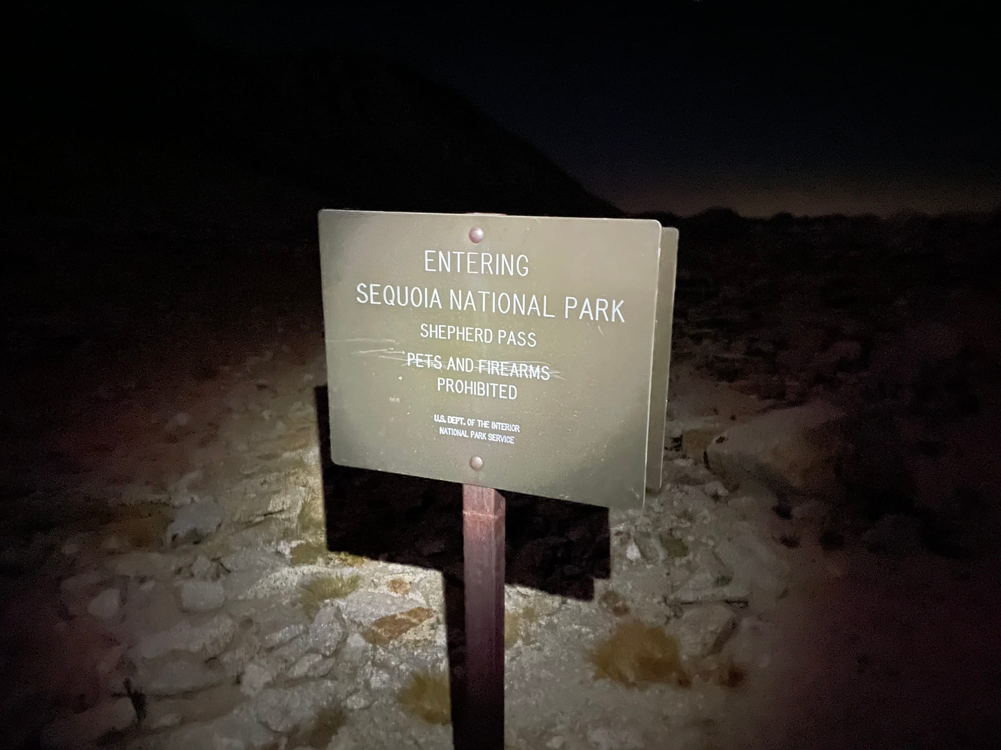
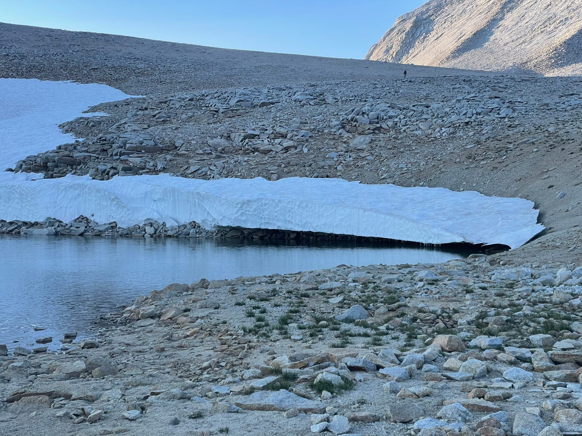
Cresting the pass is an incredible feeling, all of a sudden you're no longer in a single drainage with massive walls on all sides, but on top of the mountains with an expansive moonscape all around you. From here I struck out cross country toward Tyndall, following the GPS tracks and beta that I'd found during my research which indicated the NE rib of the mountain as the easiest ascent path. I had read (and was warned by other climbers) that the N ridge of Tyndall is a heinous climb with endless downclimbing on large blocks, so I wanted to avoid that.
Travel here was quick over flat ground. I traversed a snow field below the rib and the terrain transitioned from soft DG to large blocks and sharp loose rocks. Following the climber's right side of the rib I was able to stick to the blocks and off the slab which made for faster climbing, but being careful of loose rocks. It was still dark at this point and making out features of the ridge above me was difficult. I drifted off route and met the ridge too far to climber's right, which lead into Class 4+ terrain. After some careful downclimbing and traversing I gained the ridge and traversed across massive blocks and the lower angle terrain on the other side of the ridge toward the summit.
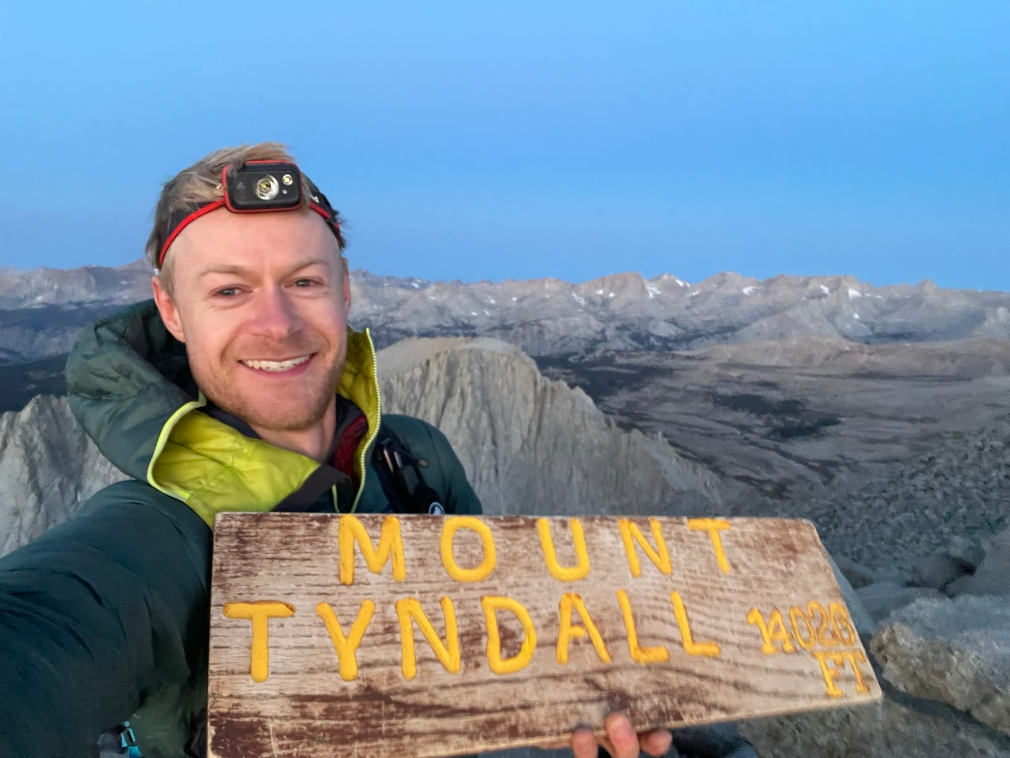
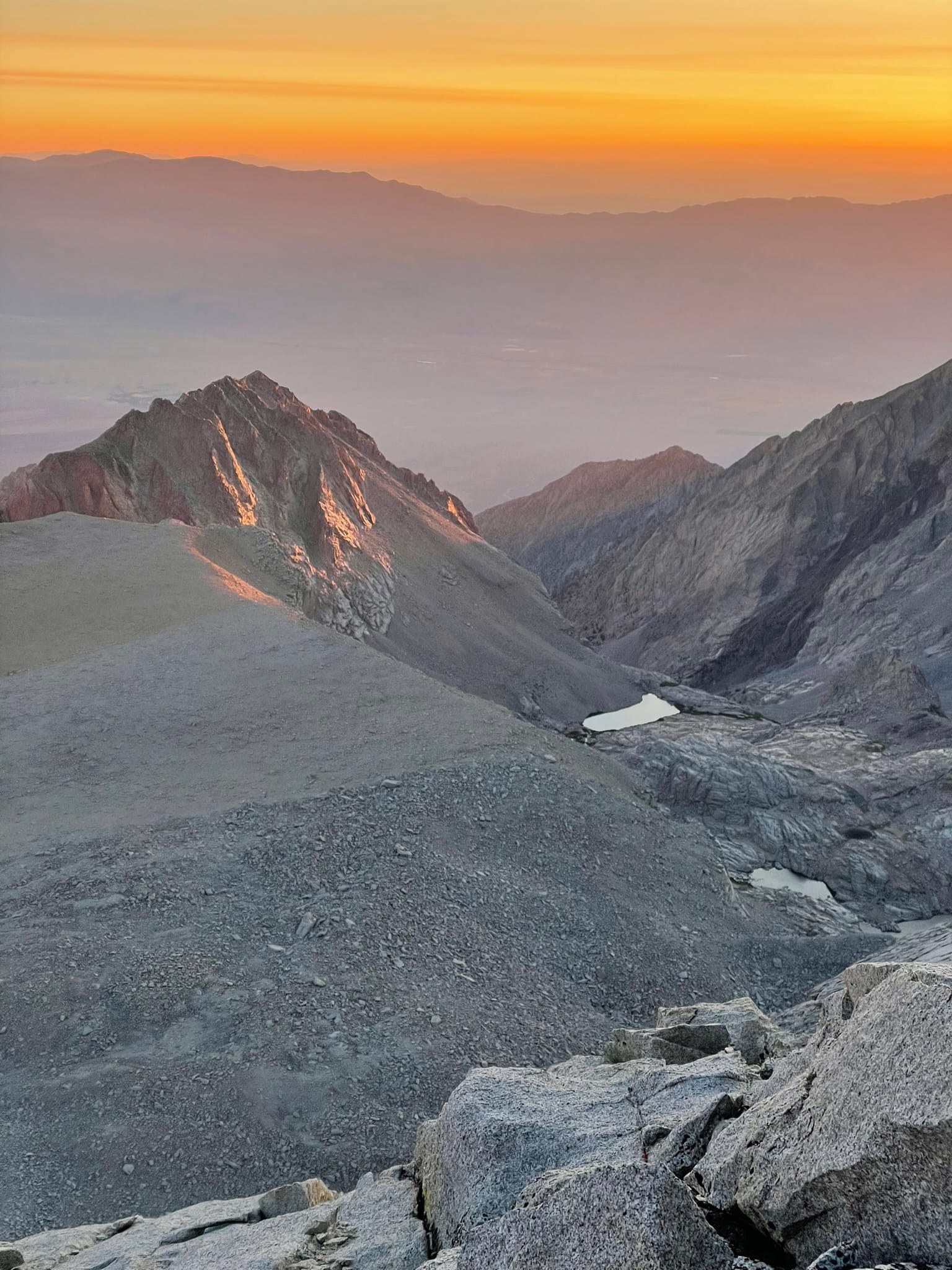
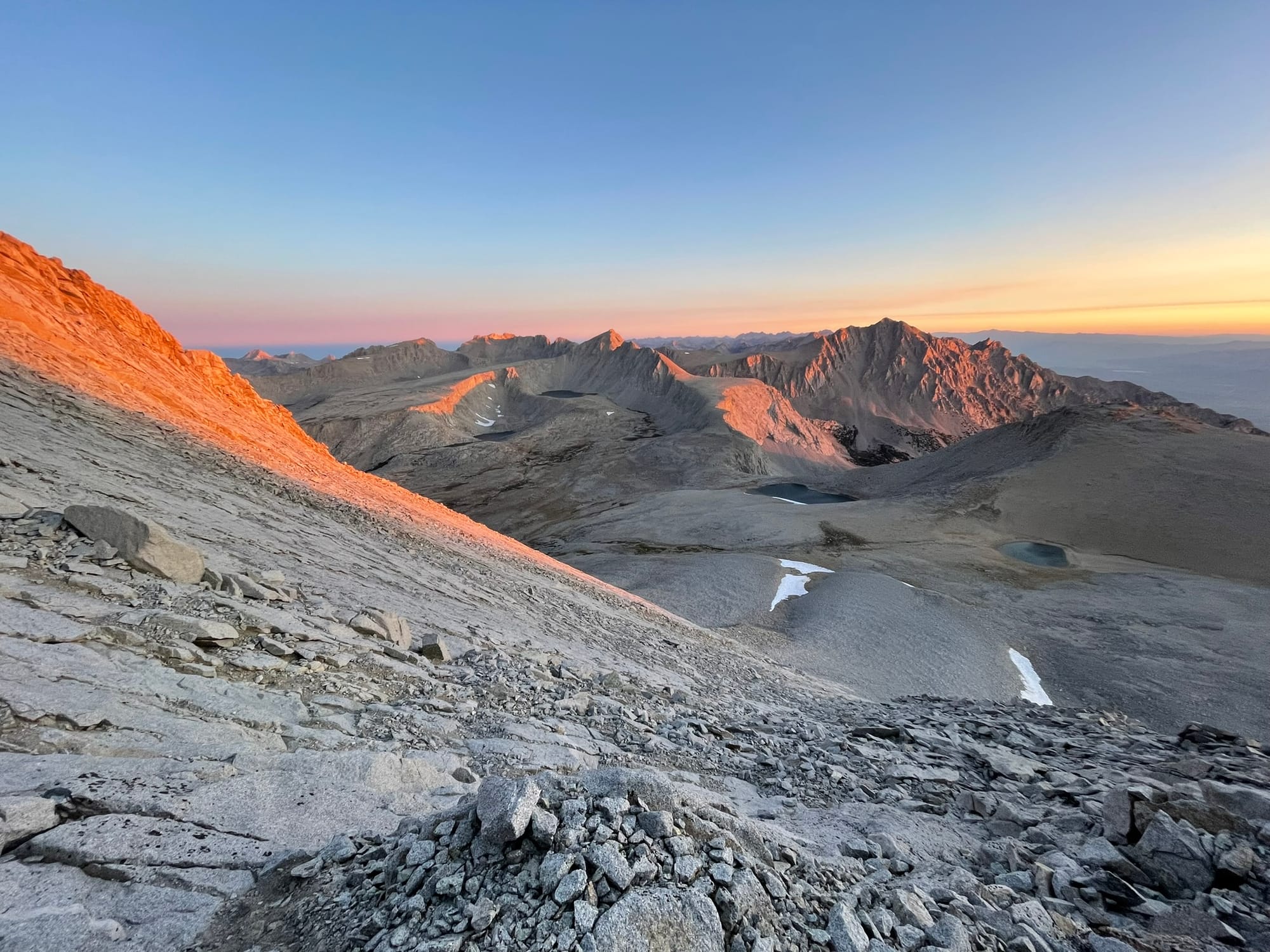
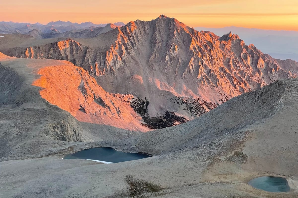
I reached the summit at around 5:45am, with the sun still below the horizon. The sky was lighting up around me, bright orange in every direction. Watching the sunrise hitting each crest, peak, ridge, and boulder of the surrounding mountains was a mesmerizing sight. The High Sierra is truly a magical place!
After a while the cold wind was starting to bite, I snapped a few photos, signed the register, took one last look toward the mountainous horizon, and started to make my way back. The route from the top of the ridge is so much more obvious (sunlight was a big help too) and I was able to make a direct descent back to the pass below. As the terrain flattens out and transitions back to DG the boulders become perfectly spaced to hop and skip from one to the next for almost the entire descent to the summit of the pass. This made for some extremely fun mountain running!
Descending from the pass back down to camp I started meeting other parties that were on their way up, some heading for Tyndall and some for Williamson, others for both in one day! Soon I was back at camp, feeling accomplished and in extremely high spirits. I made breakfast and coffee, sat a while to enjoy the sun cresting over the ridges around me and pouring into the valley, then set about packing up camp and preparing for the long descent back to the car.
Time passes quickly when you're relaxing and it was 8:30am before I was on the trail again. Hiking downhill for thousands of feet started to wear on me quickly. Playing a game in my head was the best way I could motivate myself to move quickly. How far could I go in 30 minutes? How about 1 hour? From Pothole Camp it was 1 hour to Mahogany Flat, then another almost to Symmes Saddle, and one more back down the climb to Symmes Creek. Here I soaked my legs in the freezing waters, which stung but helped ease the pain building in my knees and legs from nonstop descending and prepared me for the final push back to the car.
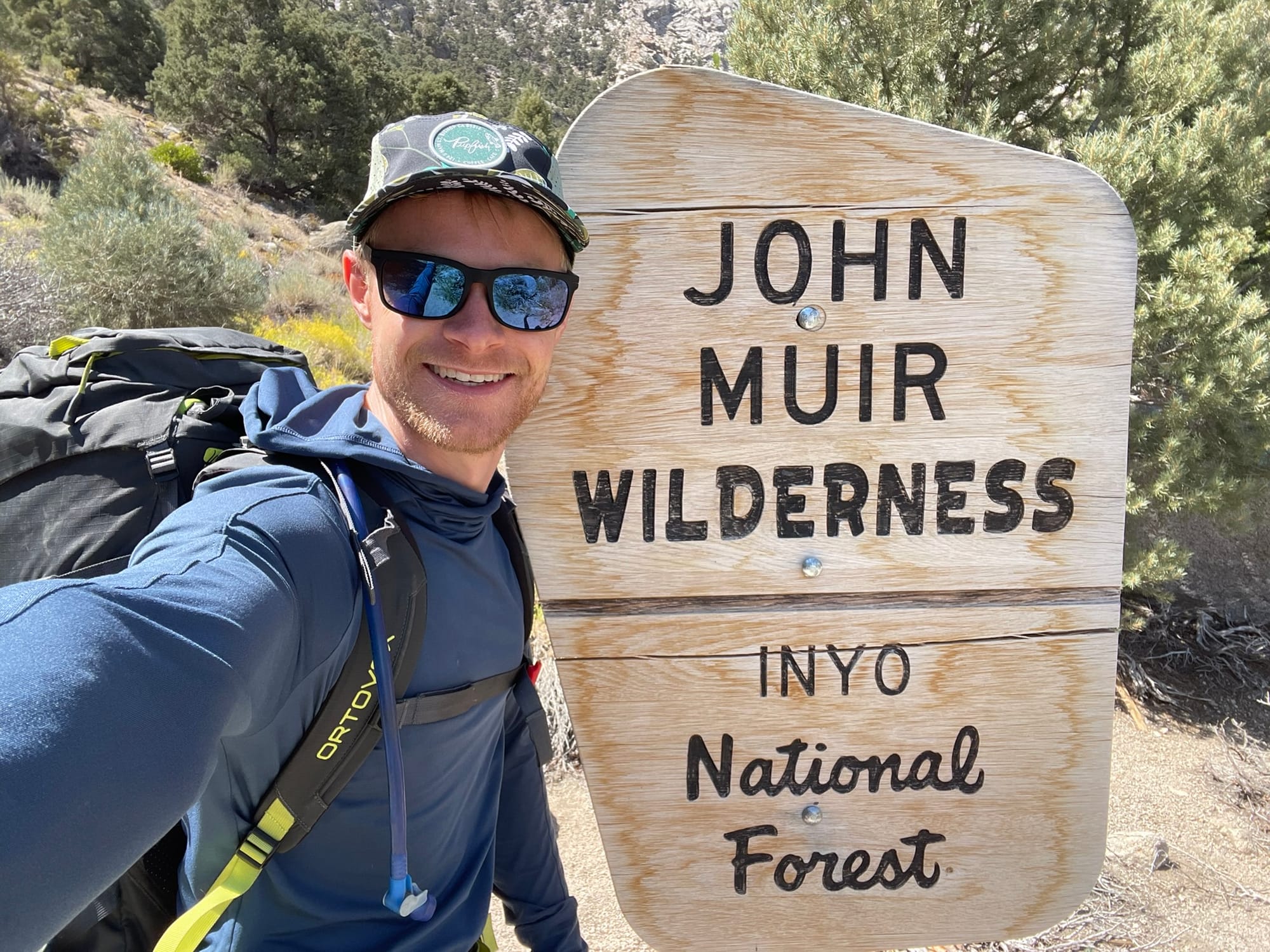
It was such a relief to reach the trailhead and I felt a wave of accomplishment hit me in the last few steps, followed by a sudden sense of disappointment that I'd be leaving the beauty and remoteness of the wilderness behind me. Until next time...
In less than 36 hours I left home in Reno, drove to Independence, hiked, camped, climbed, and hiked some more. Trips like this really put into perspective what can be achieved in a short period of time with a little determination. I hope I'll remember that the next time I'm sitting at home dreaming of the mountains and wondering to myself "How will I get up there again?".
