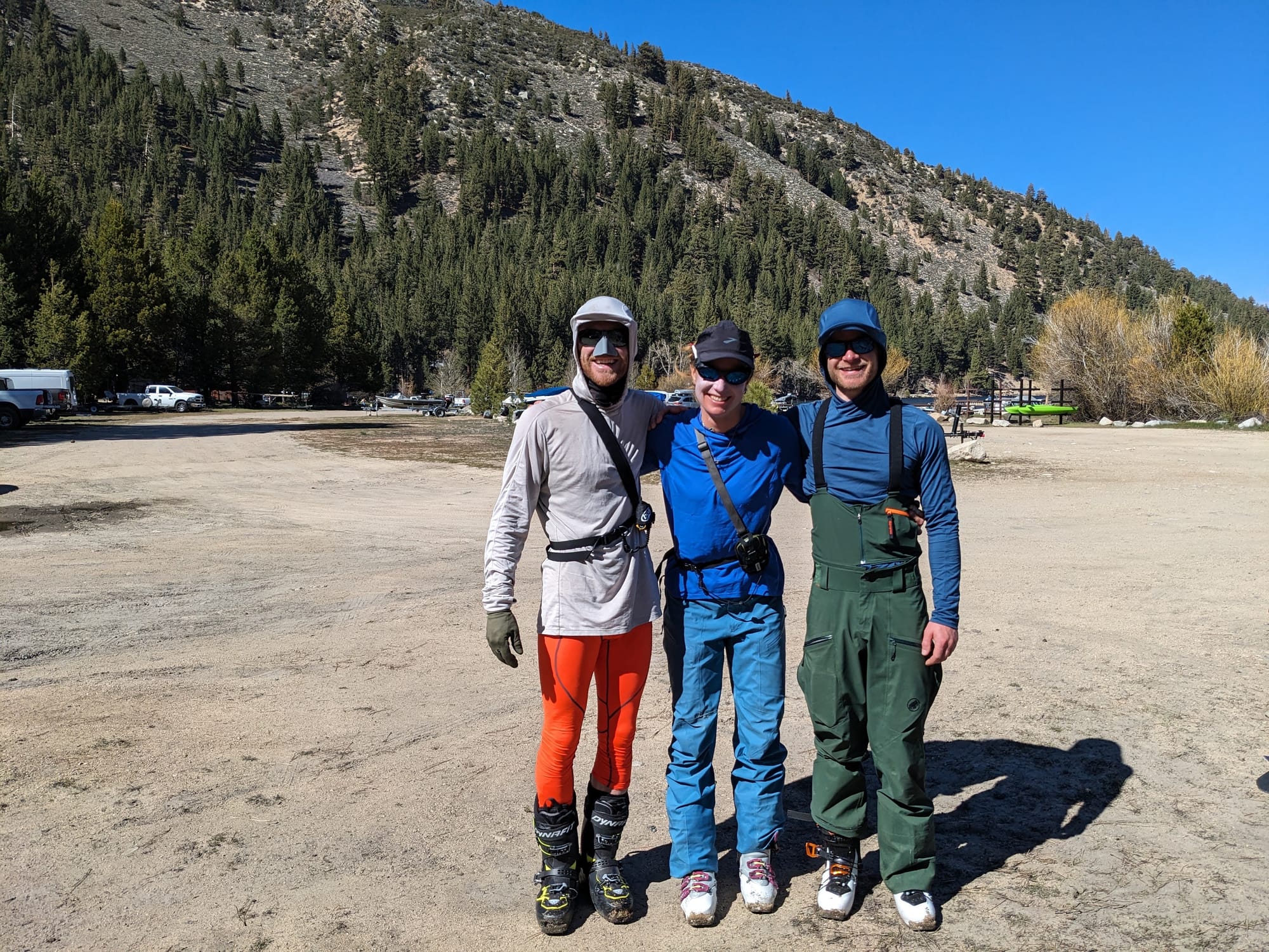
The Sawtooth Traverse
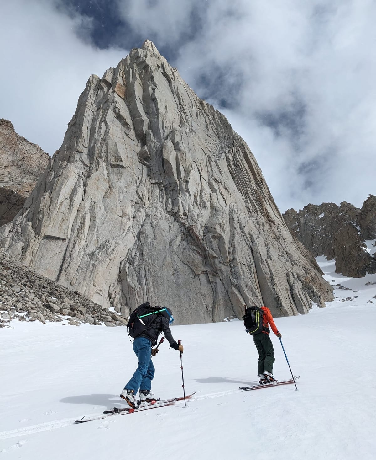
The 2023/2024 Sierra winter got off to a slow start but continued to deliver dumps of fresh snow well into what would normally be considered late spring. The great conditions excited Kristi, Max, and myself and we quickly decided to make the most of the season by attempting a larger ski objective beyond the day trips we had been taking each weekend.
During my recent trip to Canada I had the opportunity to hear tales of bold ski traverses, which intrigued my inner adventurer. Listening as they detailed their Canadian expeditions, Leah Evans and Madeleine Martin-Preney completely hooked me on the idea of long backcountry traverses, spending days or weeks alone in the mountains. The idea of the remoteness, self sufficiency, and pure immersion in the mountains was tantalizing. The Sierra being such a massive range and with such great ski touring access I thought that there must be several preexisting traverse routes, and started diving into research. This lead me to the Sawtooth Traverse, a 3-4 day ski tour of the Sawtooth range starting and ending in Twin Lakes California and skiing by and on some of the most iconic peaks in the region including The Incredible Hulk, The Cleaver, and Matterhorn Peak.
This was exactly the adventure the three of us were looking for and it wasn’t long before both Kristi and Max were convinced to go for it. Keeping one eye on the weather and the other on our busy schedules we settled on the last weekend in April and prepared to set out into the Hoover Wilderness.
Preparation for me mostly involved research on the area we would be traveling through and I spent many hours poring over maps and trip reports trying to learn as much as I could about the route and region. It turns however out what I should have been doing was packing gear. It wasn't until the night before the trip that I did my final pack, which somehow did not include a sleeping bag. Max and Kristi were not impressed when I turned up at our predawn meeting point with a full backpack and no sleeping bag. So the first stop of the trip was back to my place, I’d have the car ride to Bridgeport to figure out how I was going to fit it into my 45L backpack (which I thought was big, but now realise is not) along with everything else. It turns out that wasn’t the only thing I had forgotten, as soon as we stepped out of the car at our mid-drive coffee stop the clear skies and strong sun made me immediately notice I didn't have a hat either! I really didn't want to buy a hat but the others rightly convinced me that I needed it. One expensive coffee shop branded hat later and we were on the final stretch of the drive to Twin Lakes.
We arrived at Anette's Mono Village in Twin Lakes and re-packed our bags where I somehow managed to cram everything into (and onto) my pack before setting off. Due to the time of year we would be walking for a few miles up the valley following Robinson Creek Trail before hitting the snow. Usually on a hike in the beta is to bring shoes then transition and leave them along the trail to fetch on the way out, but being a loop we wouldn't be coming back that way, so hiking in ski boots was the only way.
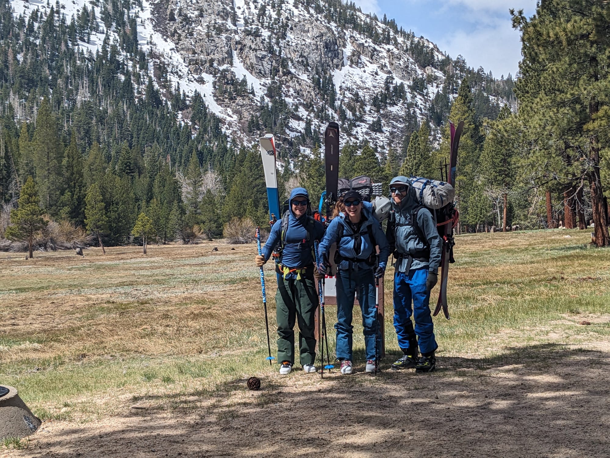
Squalls of snow, cloud, and wind would periodically obscure our view as we hiked, and then moments later break and reveal clear skies, a hot sun, and a stunning view of the mountain range we were about to enter into. A few miles of flat hiking in and we turned south, crossing the creek on a logjam and finally meeting the snow where we could transition to our skis before starting to ascend.
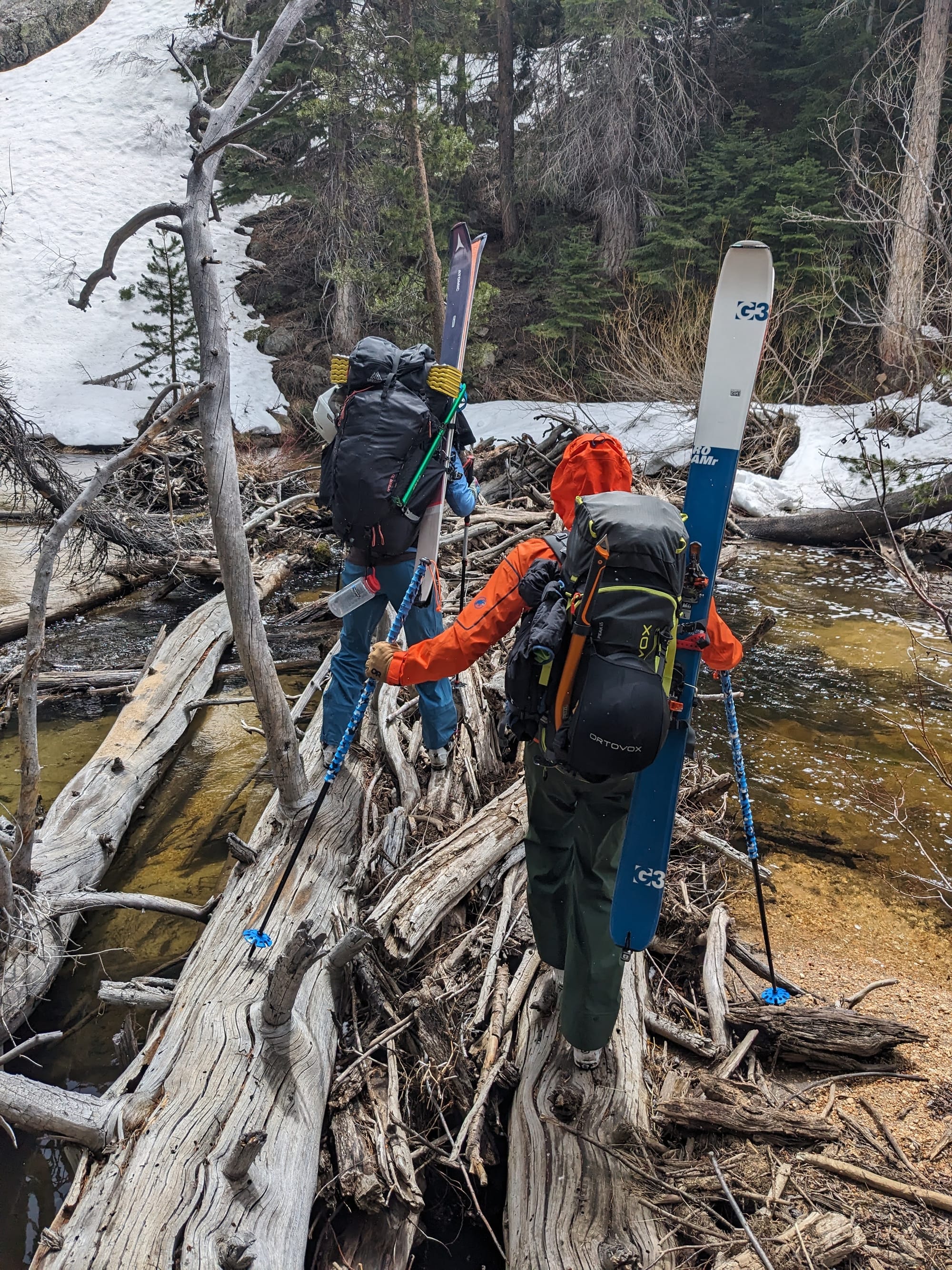
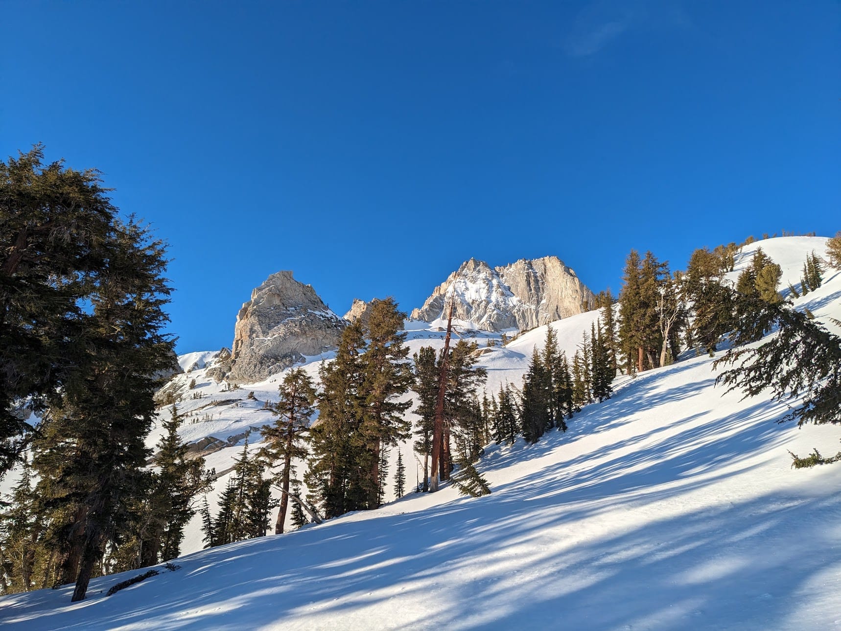
From here we climbed the steep drainage into the valley below The Hulk and Kettle Peak. We planned to ski one of the couloirs that flank The Hulk, and also the Jah Bless Couloir on Kettle Peak before setting up camp that night at Maltby Lake.
The skinning getting up the drainage was initially quite difficult. Most trip reports follow a more shallow traverse through a forested section below rocky outcrops and cliffs, however with the spring setting in the forest was melted out and the underbrush made it impassible on skis. We stuck high and close to the rocks and managed to slowly pick our way through with some effort, back sliding, and precarious edging.
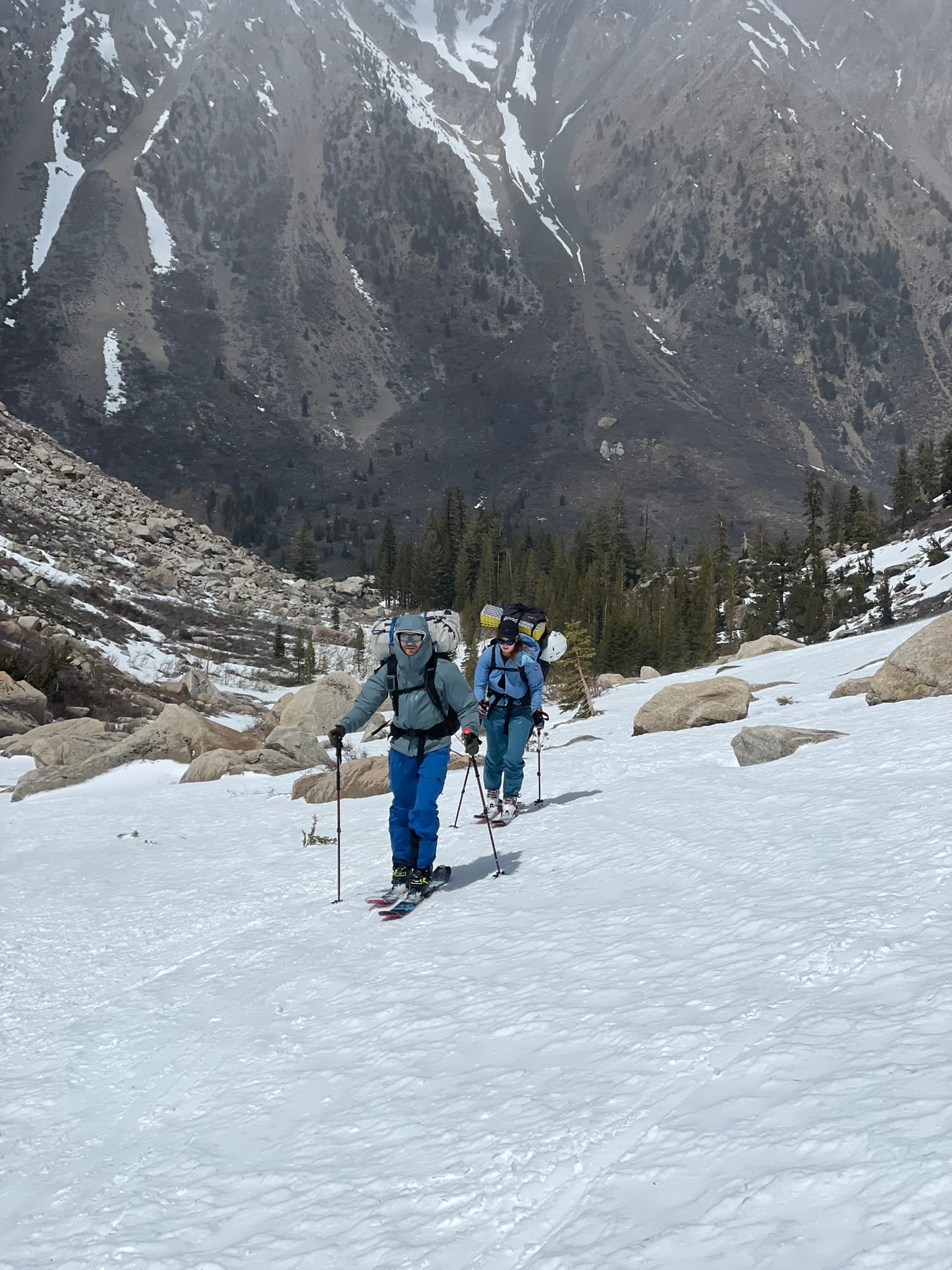
Conditions continued to remain blustery with weather moving in and out of the valley, but as we ascended out of the lower drainage we were finally on open ground and quickly made it to the base of The Hulk. Feeling a little beat from the struggle earlier we decided to leave as much of our camping gear stashed under a rock before climbing our way up the couloir, bringing only our usual touring equipment.
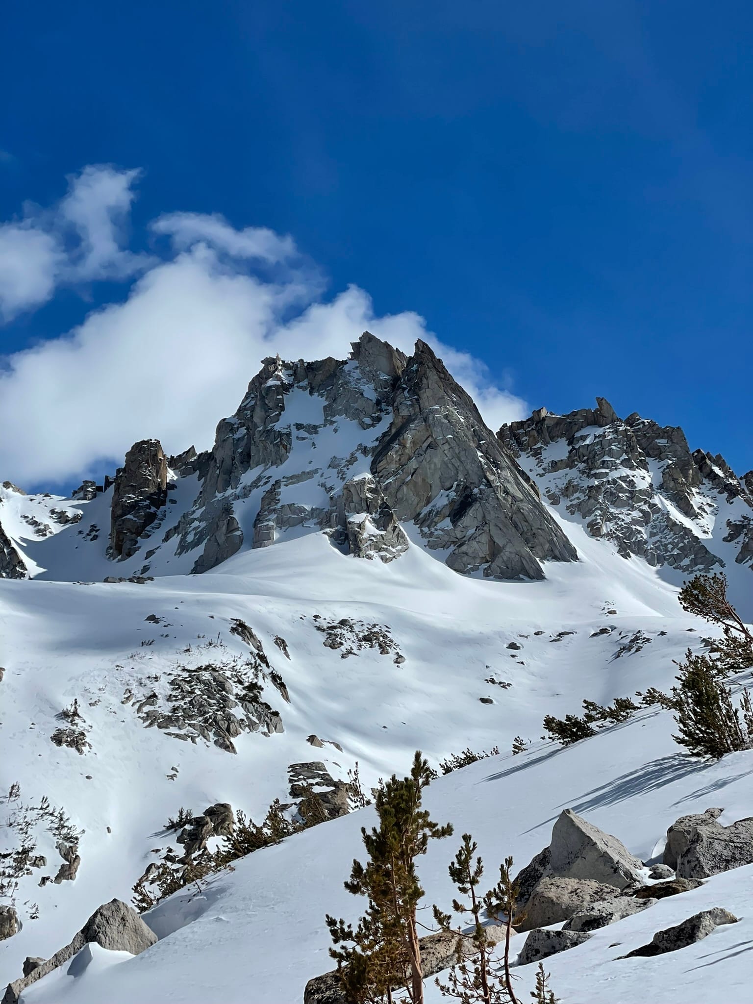
The Hulk has two couloirs on either side of the rock monolith. Assessing each of them from the approach it appeared that the looker's left couloir had a choke point of uncovered rock, whereas the right couloir was slightly more filled in. We decided to head to the right, skinning at first then transitioning to boots and crampons for the remainder of the climb. The ascent was steep and the snow unpredictable, hard and compacted in most places but occasionally soft and deep in pockets of wind drift at odd points along the climb. Unfortunately the couloir we chose ends in a blocky headwall and didn't allow us to top out at the ridge and look at the range beyond. Disappointing, but we'd be seeing it the next day.
Transitioning to skis on the steep top of the couloir was tricky but we were soon clicked into bindings and making our way down. Finally some downhill skiing after a day of ascent! The snow was patchy but felt good under foot (except for a few icy hard packed and wind scoured sections), the view looking down and out from the couloir was also stunning. What a great way to kick off the trip!
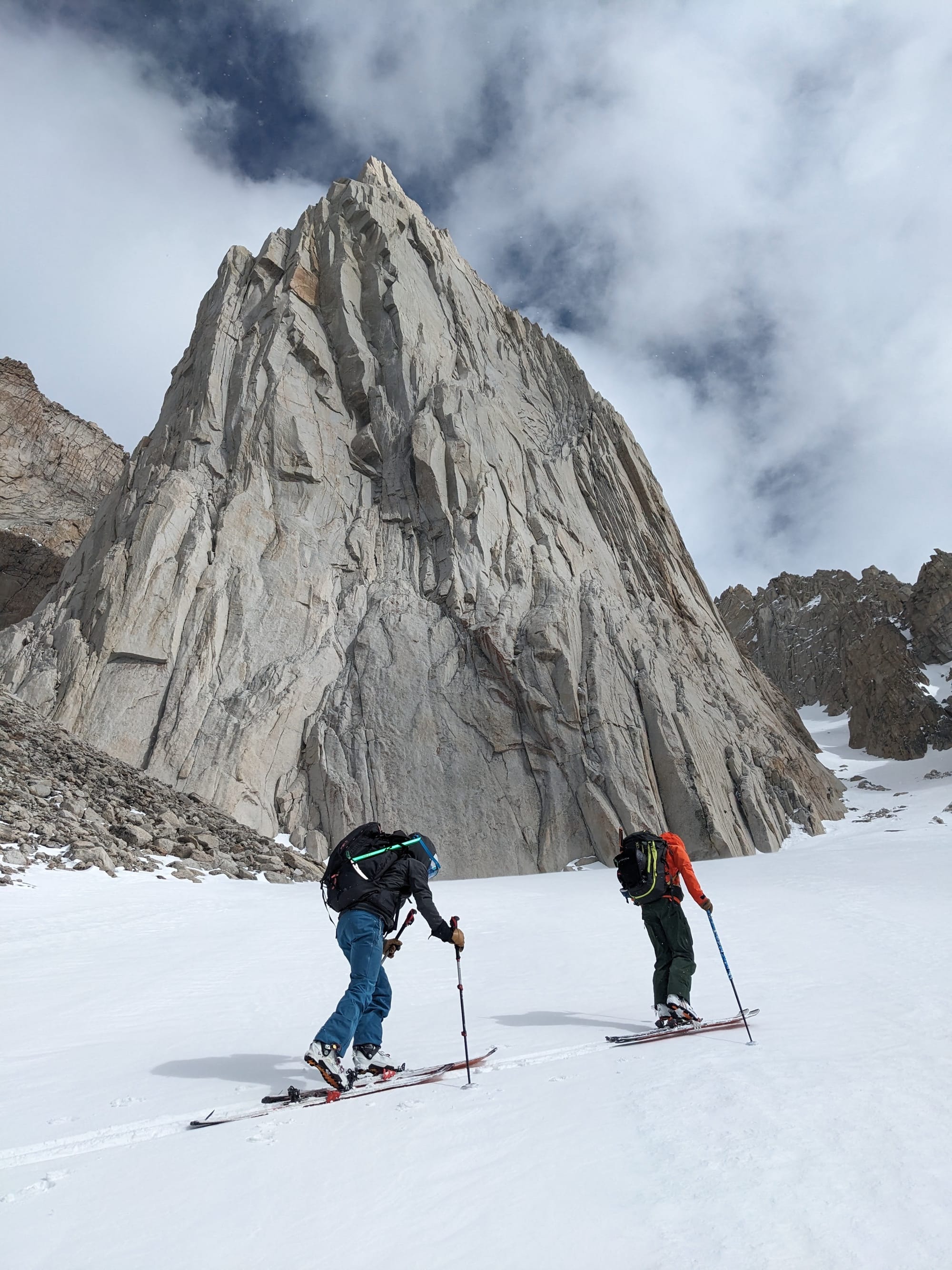
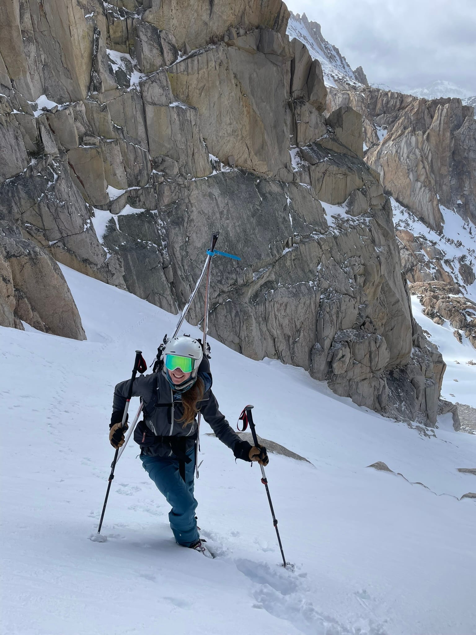
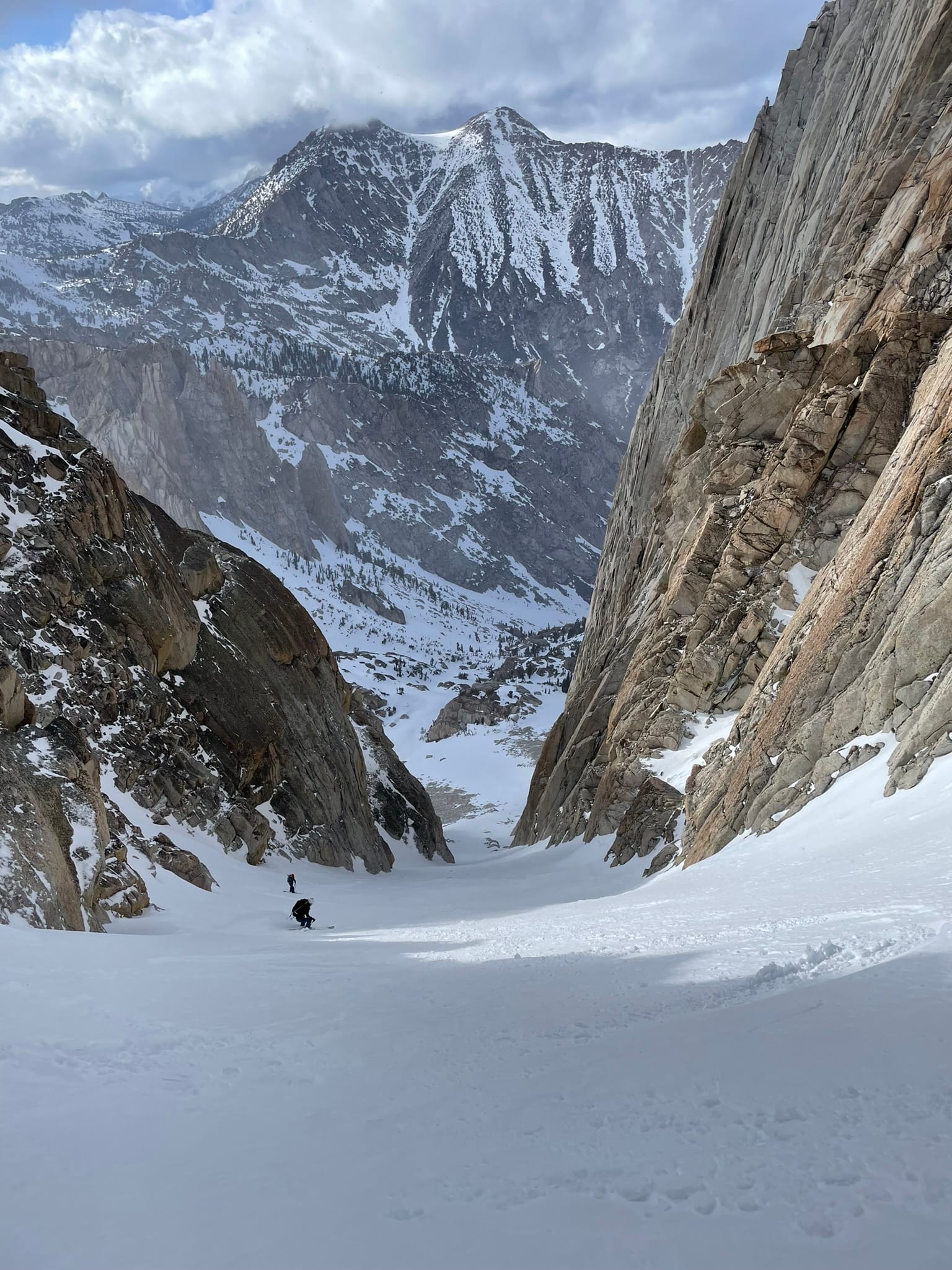
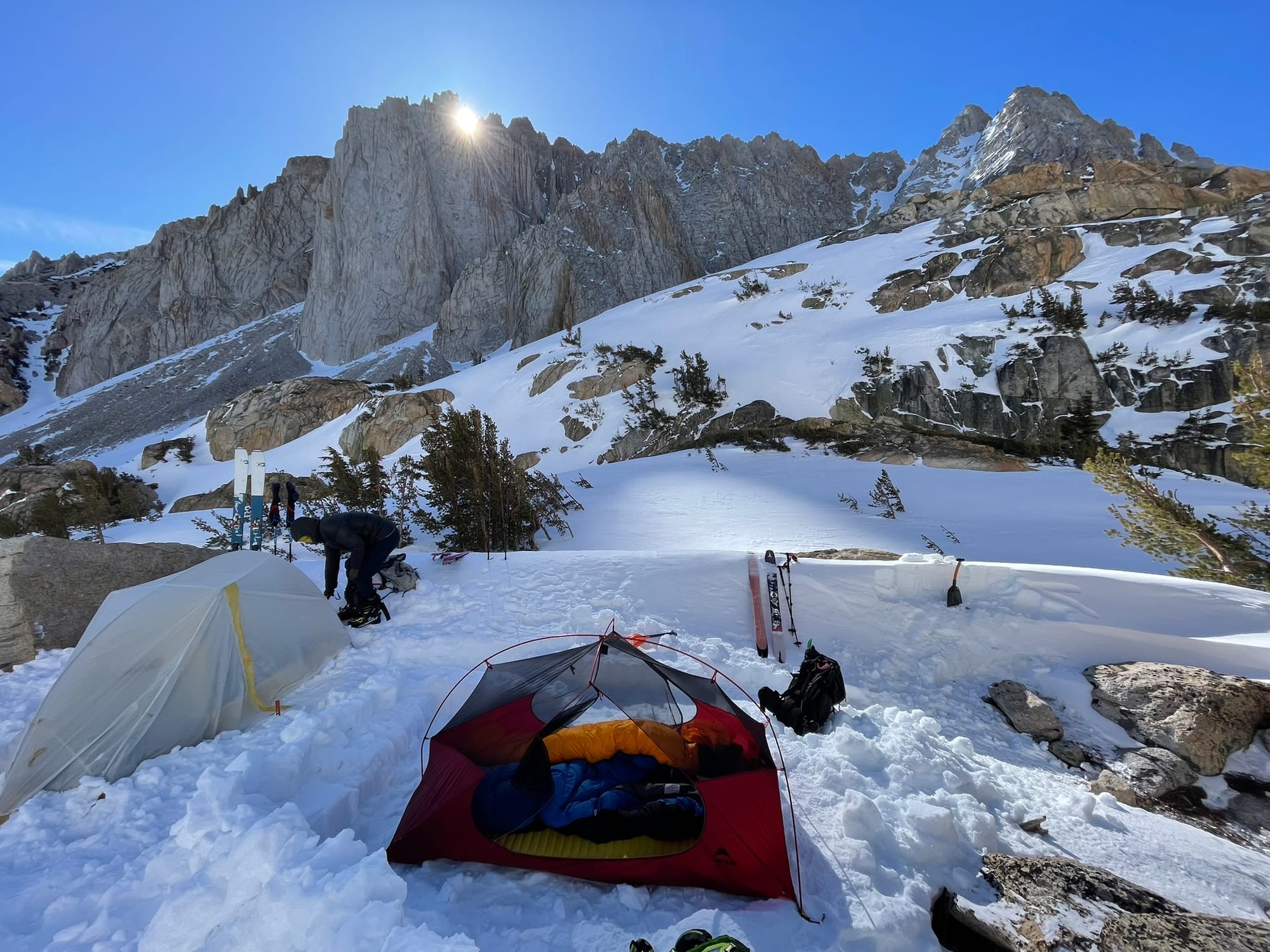
At this point it was getting late in the day, the conditions weren't mind blowing, and we were more tired than we had expected to be so we decided to skip skiing Kettle Peak and head straight for camp instead. We made our way to the lake over some tricky wind lips and scouted around for a campsite sheltered from the wind. Eventually we settled on a spot behind a massive boulder slightly to the north of the lake and among short trees. We dug ourselves a flat tent site and got set up, but as soon as the action stooped the wind and cold took hold quickly. Next priority, keep warm and get fed!
For me this turned into yet another ordeal. My favourite freeze dried meal, the famous Pad Thai with included peanut butter sachet, was ready to eat after the excruciating 10 minute wait for it to re-hydrate. I carefully extracted it from my jacket, spoon at the ready, and try to peel apart the zip lock with my gloved hands only to fumble the entire contents straight into the dirt and pine needles below our boulder shelter... Max and Kristi looked on with devastated faces and knew that this wasn't the time to laugh (that would be the following morning), and I did the only reasonable thing, knelt down and dug into my crunchy, now cold, dinner right off the ground. I learned a valuable lesson right then, bring plenty of extra food! That night I consoled myself by snuggling up with a warm Nalgene of freshly boiled snow and drifted off to sleep thinking back on a day that encompassed a full range of emotions from defeating lows to ultimate highs.
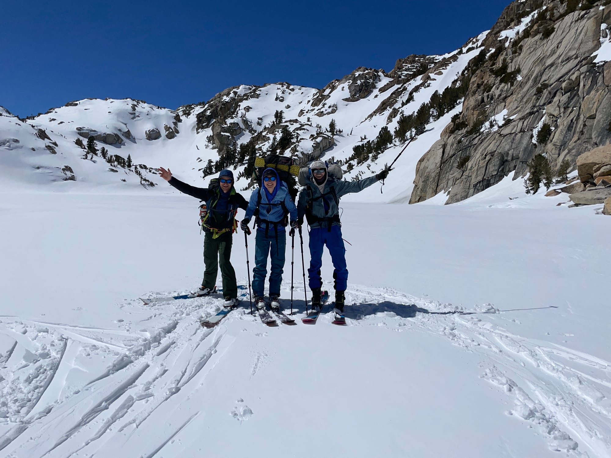
The next morning sun broke over The Hulk and bathed our camp in warm light which was a welcome relief from the cold and wind the night before. The breeze had died down and the sky was completely clear, it was going to be a perfect day! Preparing breakfast I was extremely careful with every step, while struggling to fight off the urge to burst out laughing as we all teased my misfortune the night before.
Today we would be climbing to the top of Eocene Peak, skiing down into the drainage below, then traversing across two basins and ridges to make our way to camp below Horse Creek Tower and The Dragtooth. The agenda included a lot more skiing and we would enter terrain directly below the peaks of the Sawtooth Range!
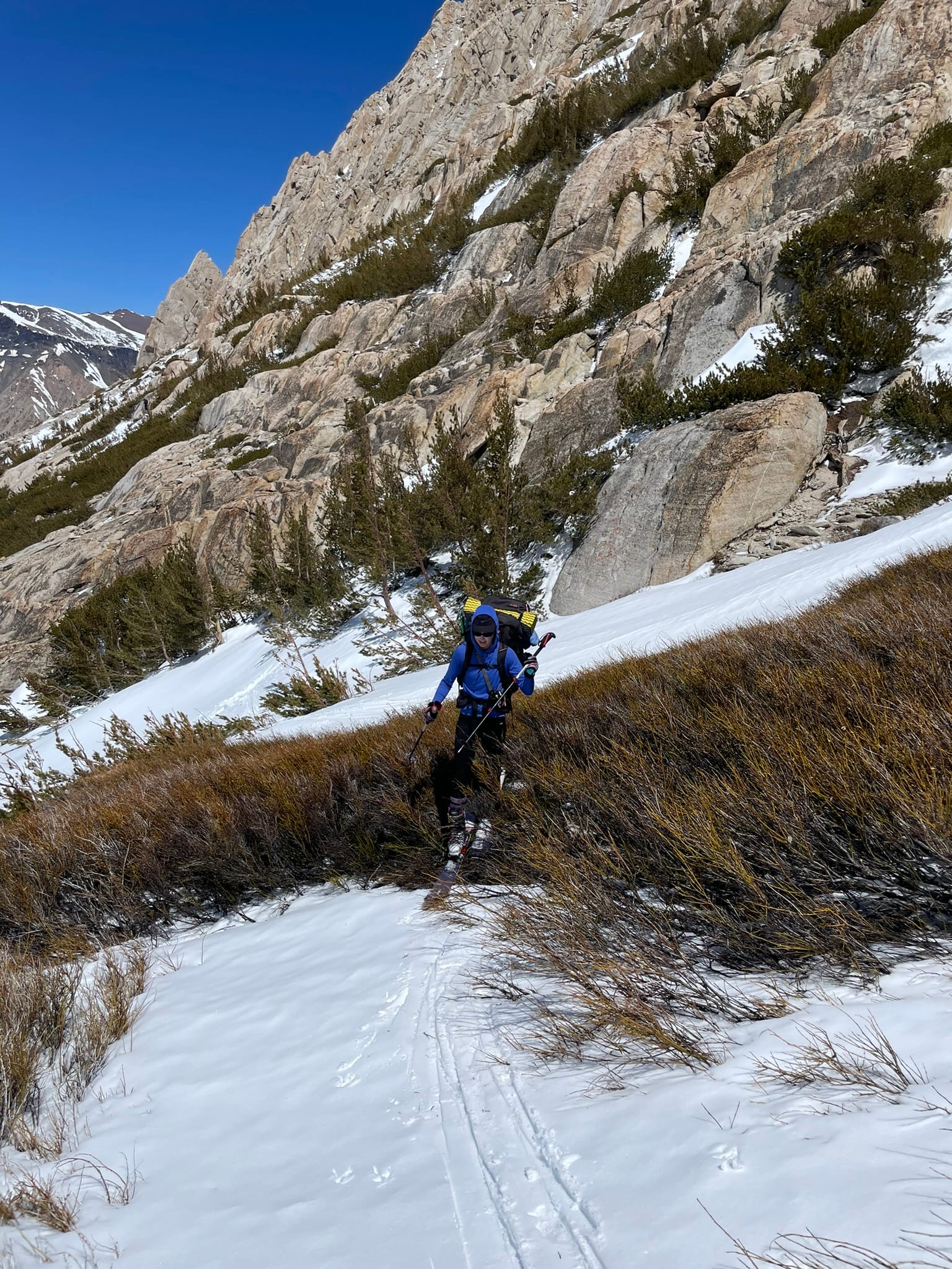
Climbing up Eocene Peak the route starts to move into terrain on west and south-west aspects which had been much more sun affected than the valley from the day before and at several points we needed to skin through bushes and trees. We all looked ridiculous as we fought to keep our skis from being caught in branches as we went across and we joked this was a free, natural, organic, fair trade, "juniper wax".
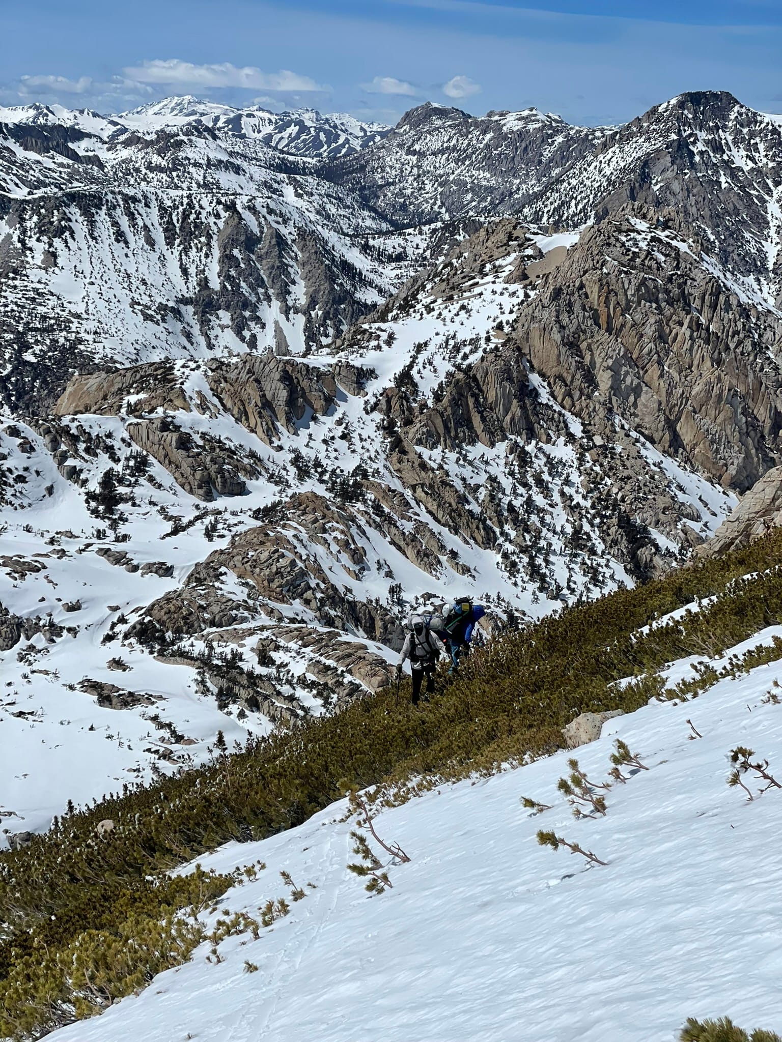
The final climb up the backside of Eocene was the steepest part of the route so far, and definitely the most sun exposed aspect of the entire trip. Snow coverage was so thin here that we felt even one more week of waiting would make it impassible on skis before the rocks and bushes were completely melted out. The ground here is steep and loose decomposed granite and wouldn't be an easy climb in approach shoes let alone ski boots.
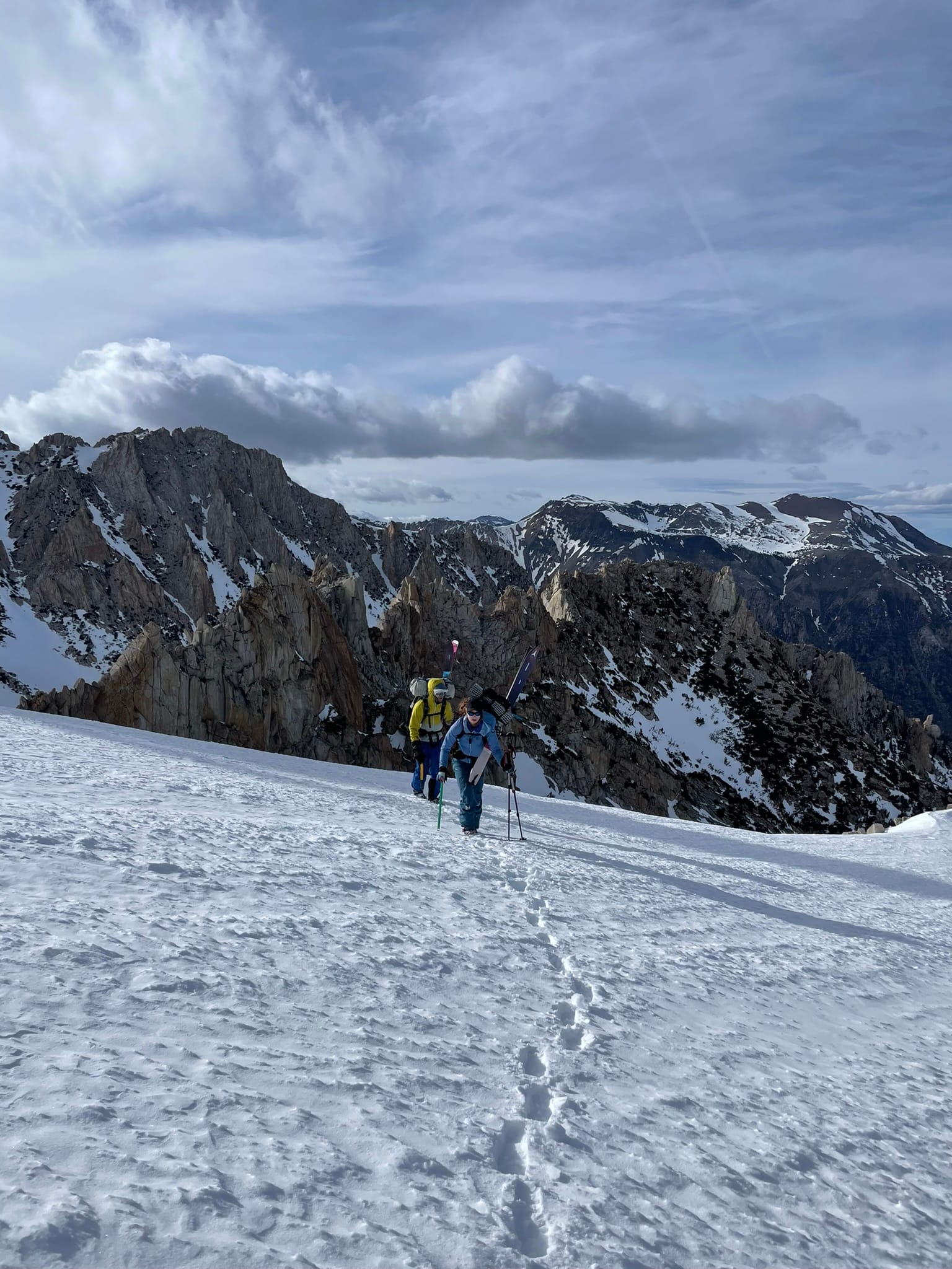
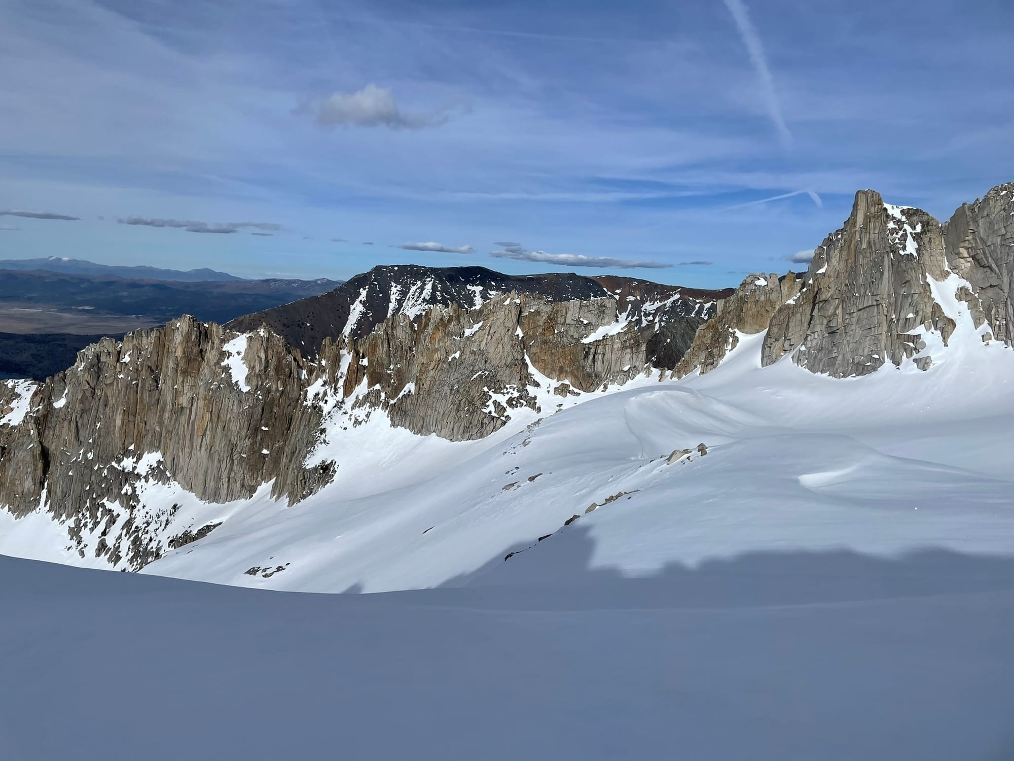
The climb shallowed out towards the summit and an incredible view of the entire Sawtooth range slowly opened up before us, each striking peak lined up one after the other. It's not until this point that the true magnitude of the trip became clear, and the beauty of the area we were skiing in was visible in a single vista. From this vantage point the view extends well into the depths of the Hoover Wilderness and further north and south along the Sierra. We could see striking features like The Juggernaut and Crown Point just to the west, and countless other peaks off in the horizon. It's sights like these that inspire the desire for future trips and venturing further from the beaten path where the beauty and severity of true wilderness becomes apparent.
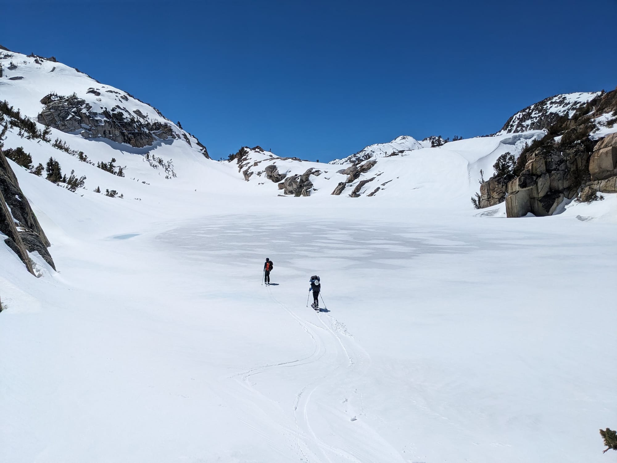
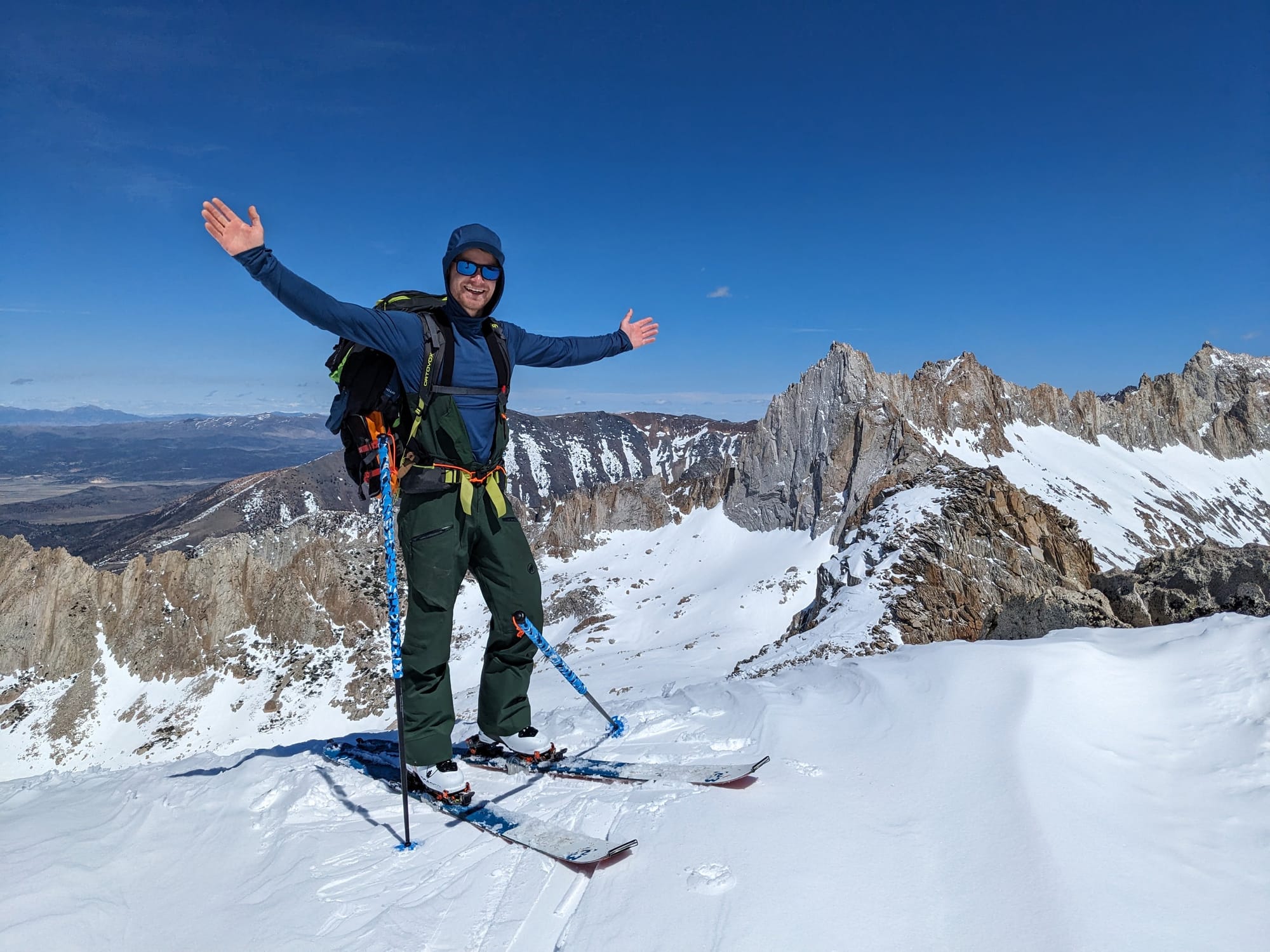
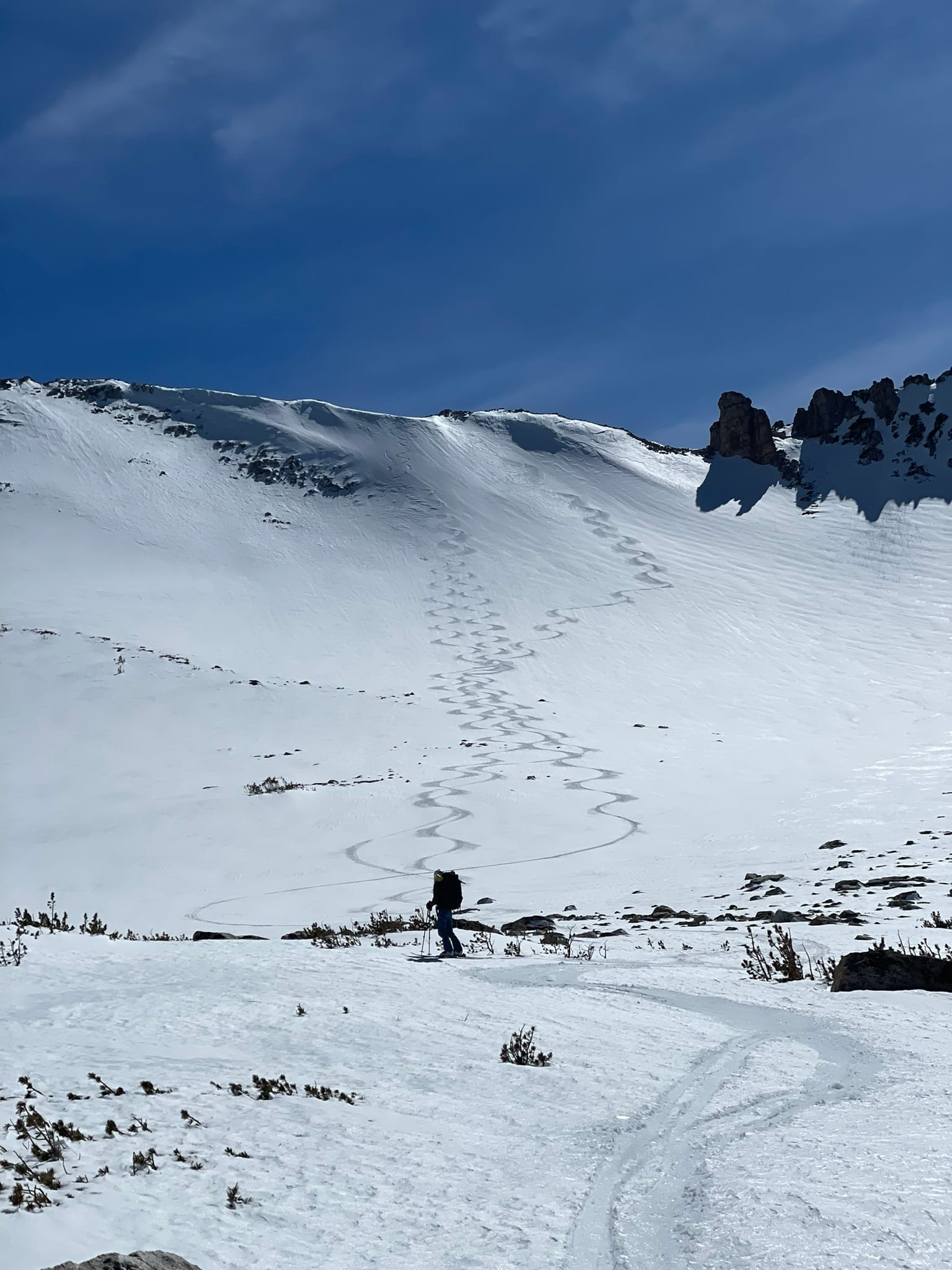
From Eocene we skied down to Glacier Lake, taking the easier path off the North side of the peak rather than the steep and rocky terrain directly below us, although that route would have been great skiing in deeper conditions. We were feeling confident in the snow conditions and all had a blast carving free form on the blank canvas of the mountain.
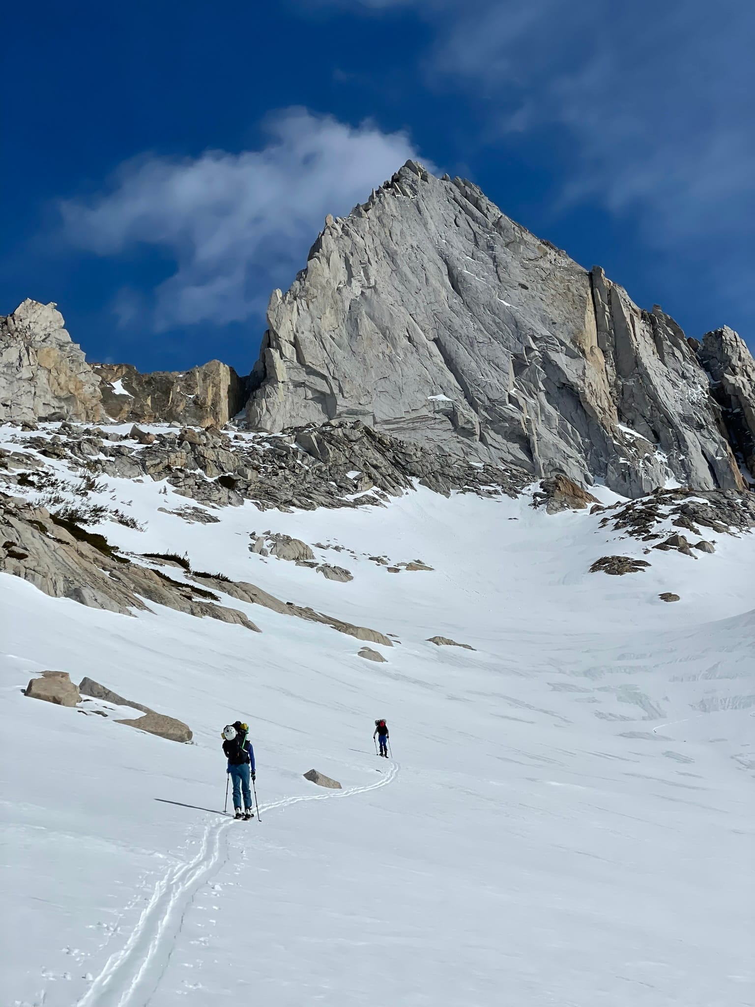
At Glacier Lake in the bottom of the basin we climbed back up and east and found our way through the cliffs of the ridge that separates next drainage over. The topographical map doesn't show it but crossing the ridge requires descending significantly down the other side and hidden from view is a very steep boot pack to regain that lost elevation. The terrain here was far steeper than the couloir we had skied on The Hulk, and felt about as steep as what we would eventually ski on Matterhorn Peak.
This new basin includes a ski line below Glacier Col, and the basin beyond it (which we would sleep in that night) includes a couloir below The Doodad. We had seen both lines on maps and previous trip reports and hoped to ski them both but by this point we were feeling the weight of our packs so we decided to skip all couloirs that day and enjoy the skiing that was already a part of our traverse.
Our next objective was Cleaver Notch, a small gap in a sheer rock ridge line called The Cleaver that extends north from Cleaver Peak. The notch is only obvious as you approach and hides a steep and blocky down climb on the other side. This is usually reported as Class 5 climbing but can vary based on the snow levels, some trip reports indicate that when filled in there is little to no downclimb at all. For us it was about 15ft of downclimbing, which in ski boots and with heavy packs was decently challenging but ultimately was easily passable with careful foot placement and some lowering and tossing of gear. From here we transitioned back into ski mode and enjoyed the long run down into the trees to around 10,000ft elevation where we would choose to camp. The snow here is all north facing and remained cold and light at elevation which made for some fun turns to end the day! Eventually we found a site that was close enough to flat to set up camp and dug in.
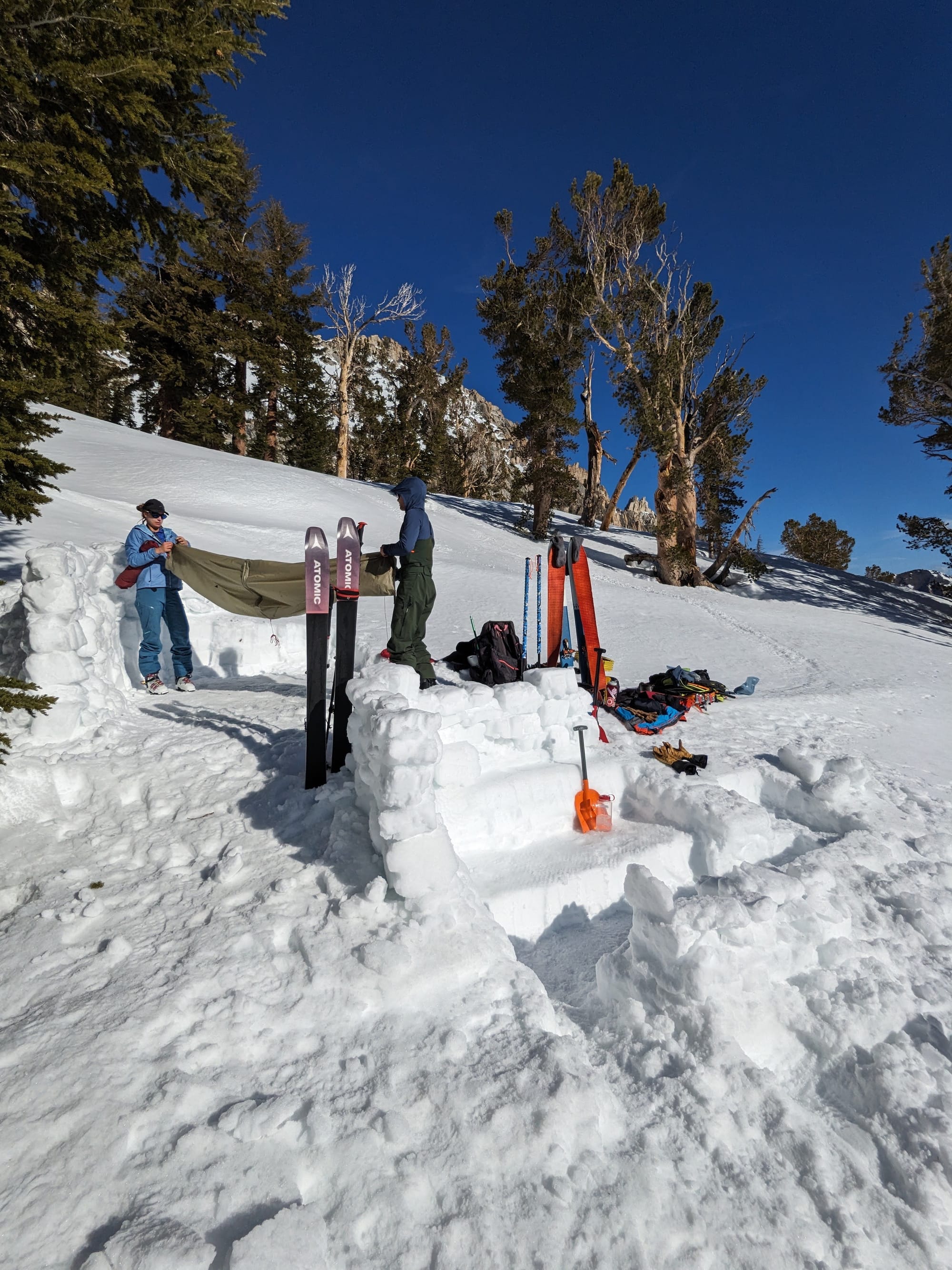
After huddling below the boulder the night before I decided to spend some extra time to dig out a proper seated kitchen area for us to use. What a luxury, we could sit in comfort and warmth, chat, and watch the stars while we ate dinner. The sky was perfectly clear that evening and Kristi was lucky enough to see her first shooting star!
The next day we woke up to another clear blue sky and warm sun. I felt bittersweet knowing that this was the last day of the trip but we were all excited to get on the most iconic ski line of the trip so far, Ski Dreams Couloir.
After packing up camp we needed to regain all the elevation we had lost on our run down to camp the evening before, and then traverse our way around to the tower and into the bowl below Matterhorn Peak. The terrain here was surprisingly tricky and we needed to make detours around small cliff bands and outcrops of rock to get back up high. Managing layers was also a challenge that morning, with not a cloud in the sky the sun and climbing were making us sweat! Once around the corner from Horse Creek Tower the route finding became obvious as there were plenty of other tracks from day trippers to Matterhorn Peak, and multiple groups of people already making their way up that morning. We made our way across the snow field at the base and joined the up track to a saddle before the boot pack begins.
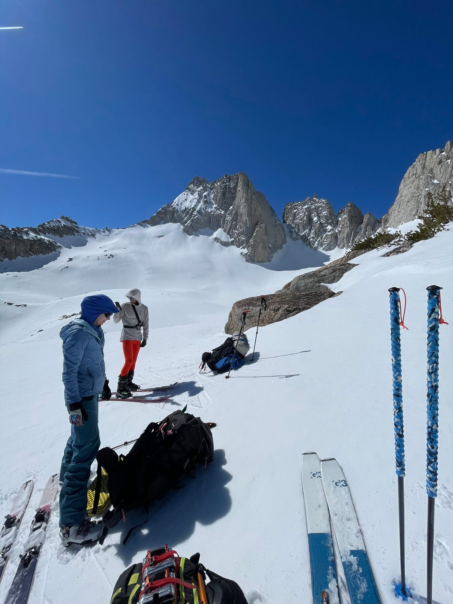
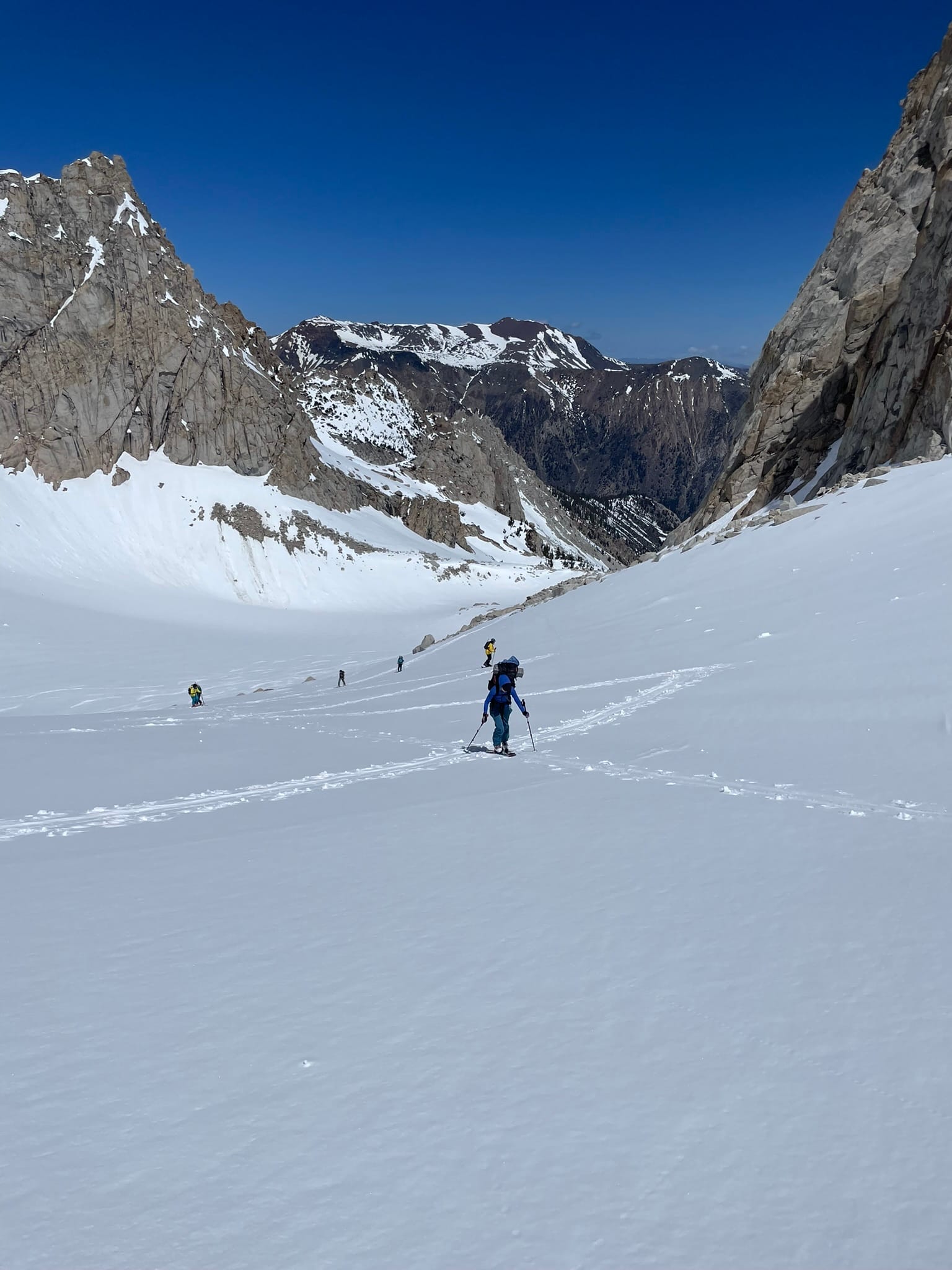
Here we took the same strategy as we did with the Hulk and emptied our packs of the majority of our camping gear to lighten the load before the couloir. We buried this gear in the snow at the saddle to keep it from blowing away and made the transition from skis to crampons and axes. This climb was about the steepest of the route so far but we made it up in no time, following in the steps of the groups that had gone before use (it would have been significantly harder if we were making first tracks).
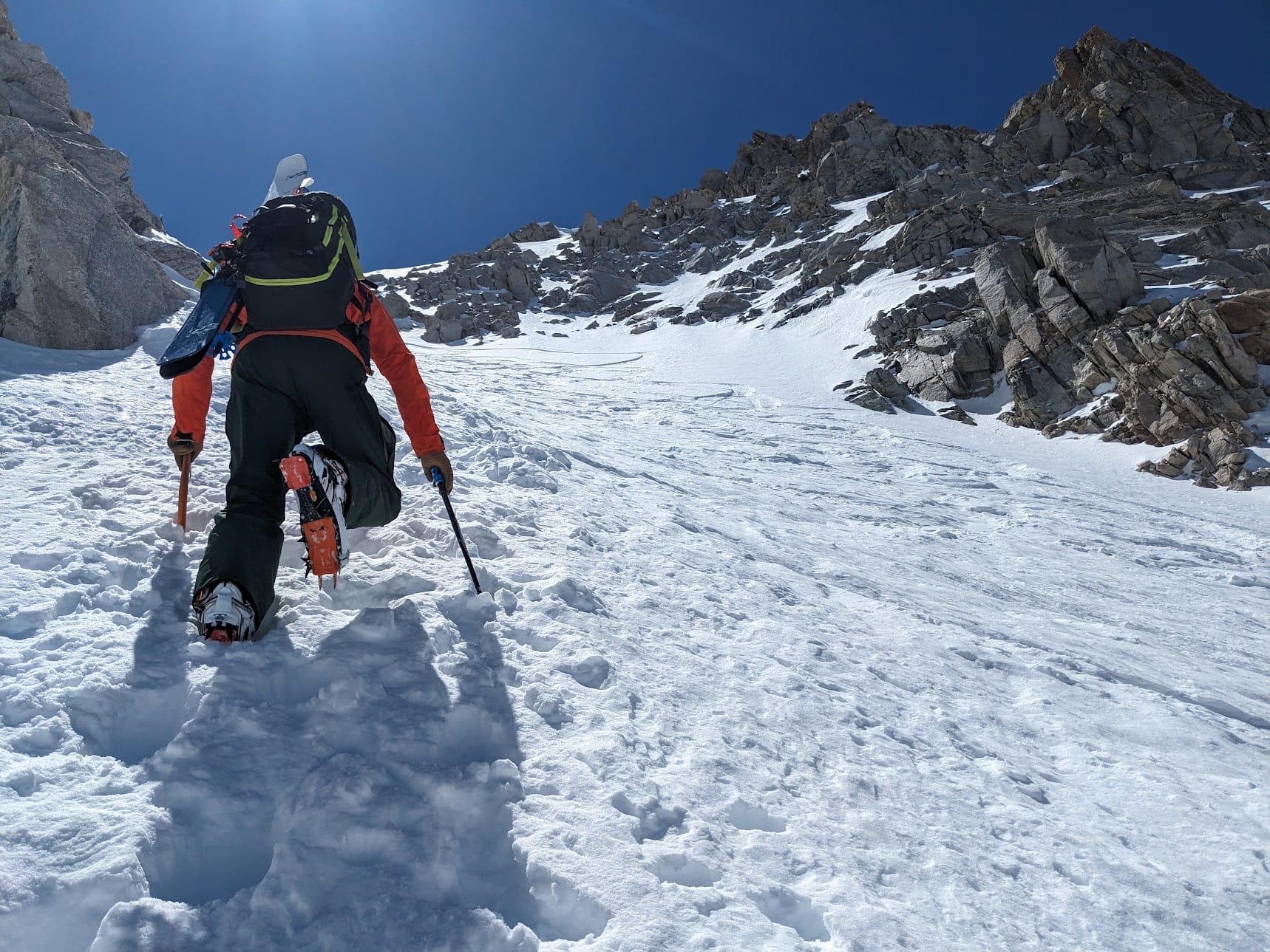
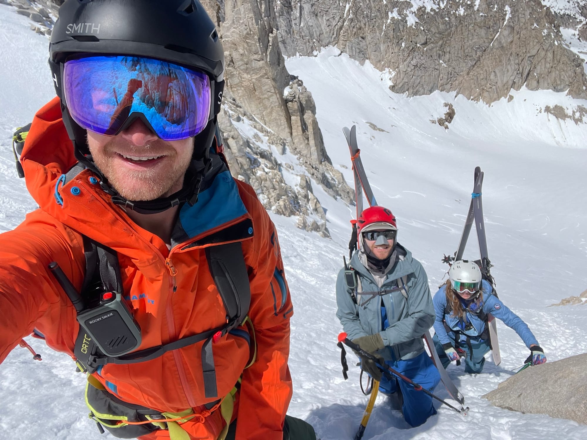
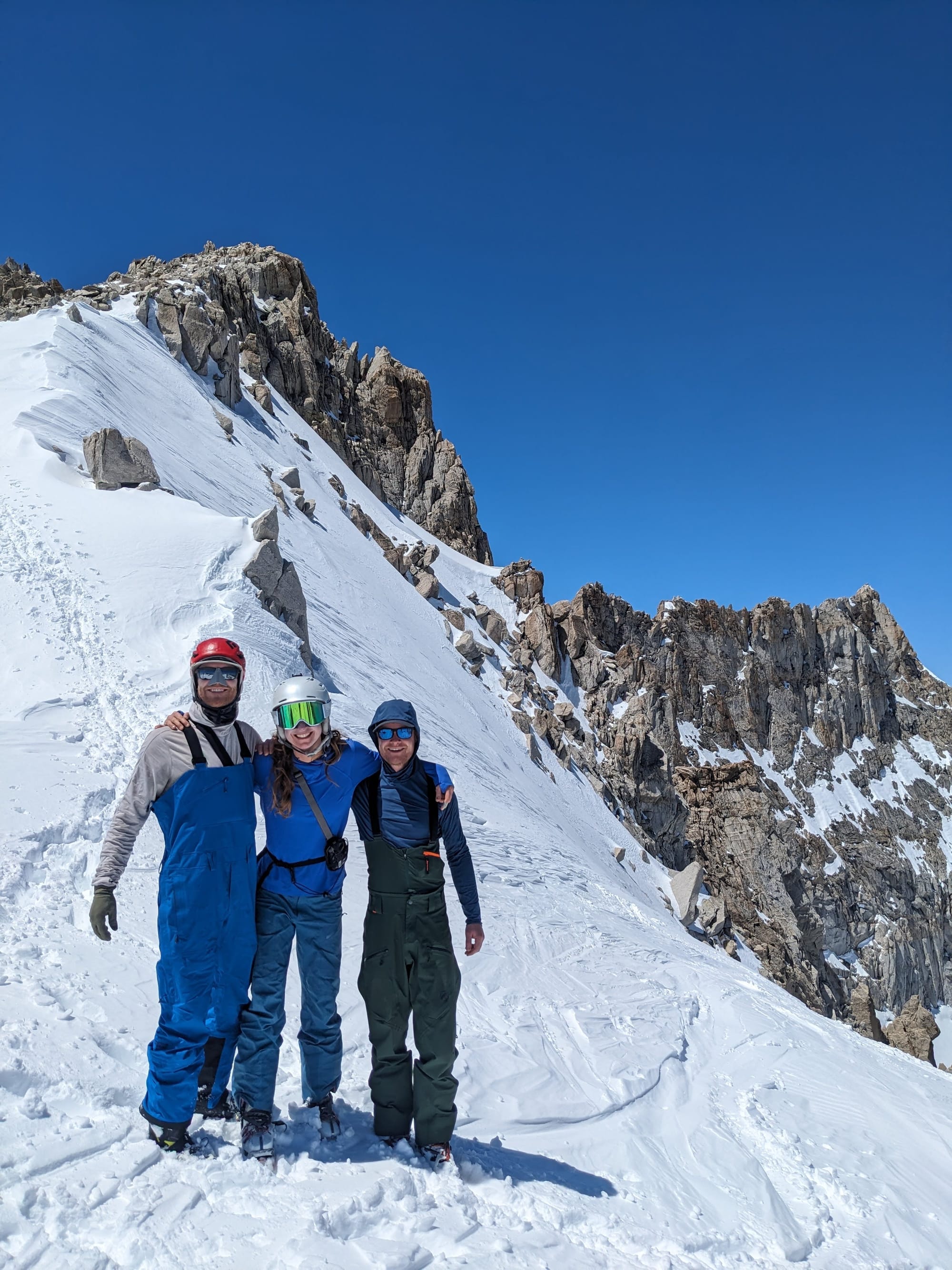
We didn't summit Matterhorn Peak itself but felt accomplished at reaching the high point of the trip and looking forward to the most iconic ski line of the descent, Ski Dreams Couloir. A few summit photos later and we were ready to make tracks down the mountain. The snow in the couloir was remarkably good! Being a north aspect it had remained protected from the sun and despite the clear skies and long days was still cold and soft. The turns down this line were definitely the best of the trip, and it was hard not to keep skiing right past the saddle with all our gear and well into the snow field below (Max and I couldn't help it and both overshot by at least 5-6 turns).
After working our way back to the saddle we repacked our bags and started making our way down, heading back to Twin Lakes where we had started. We took the route to the east, going over the saddle and into a bowl that then continues down into Horse Creek. It turns out only one other skier had been this way and we made fresh tracks the whole way down and avoided the crowds coming up to Ski Dreams to the west. This route does skip the Ice House ski line but given the name and expected conditions at the time we weren't that disappointed to miss it.
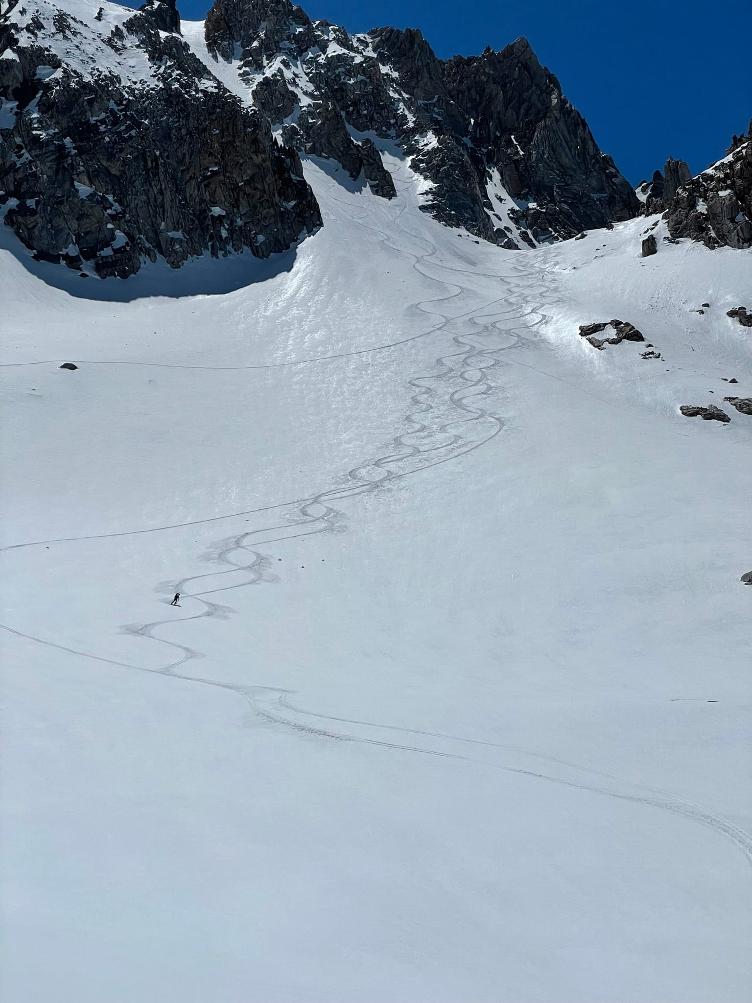
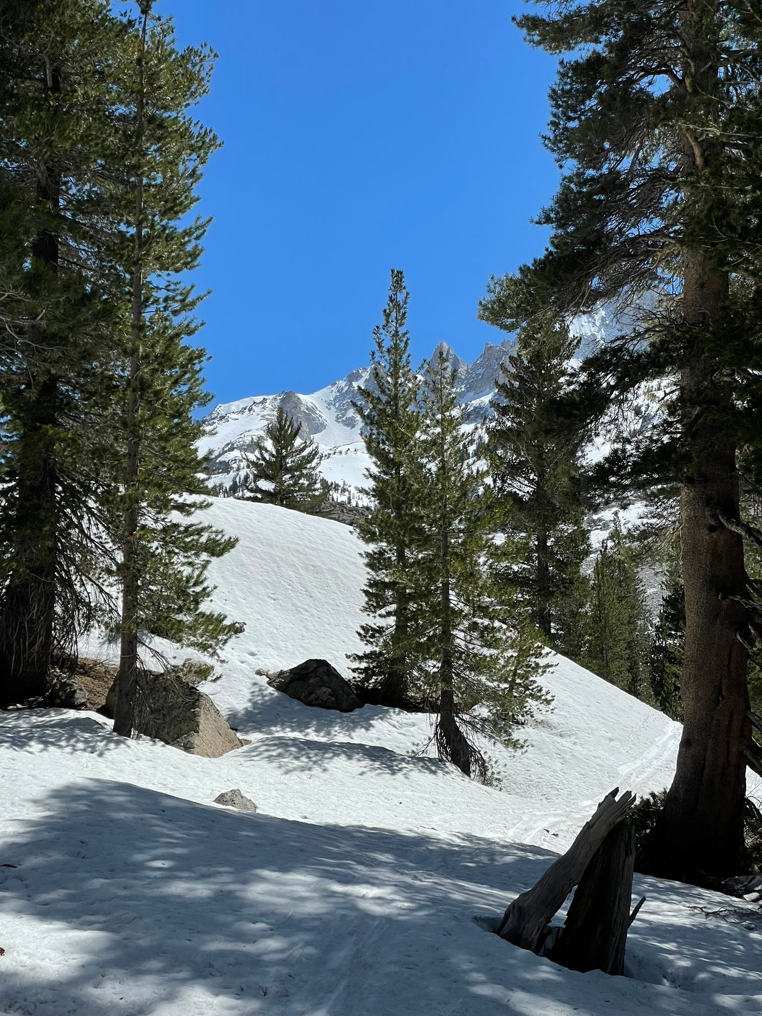
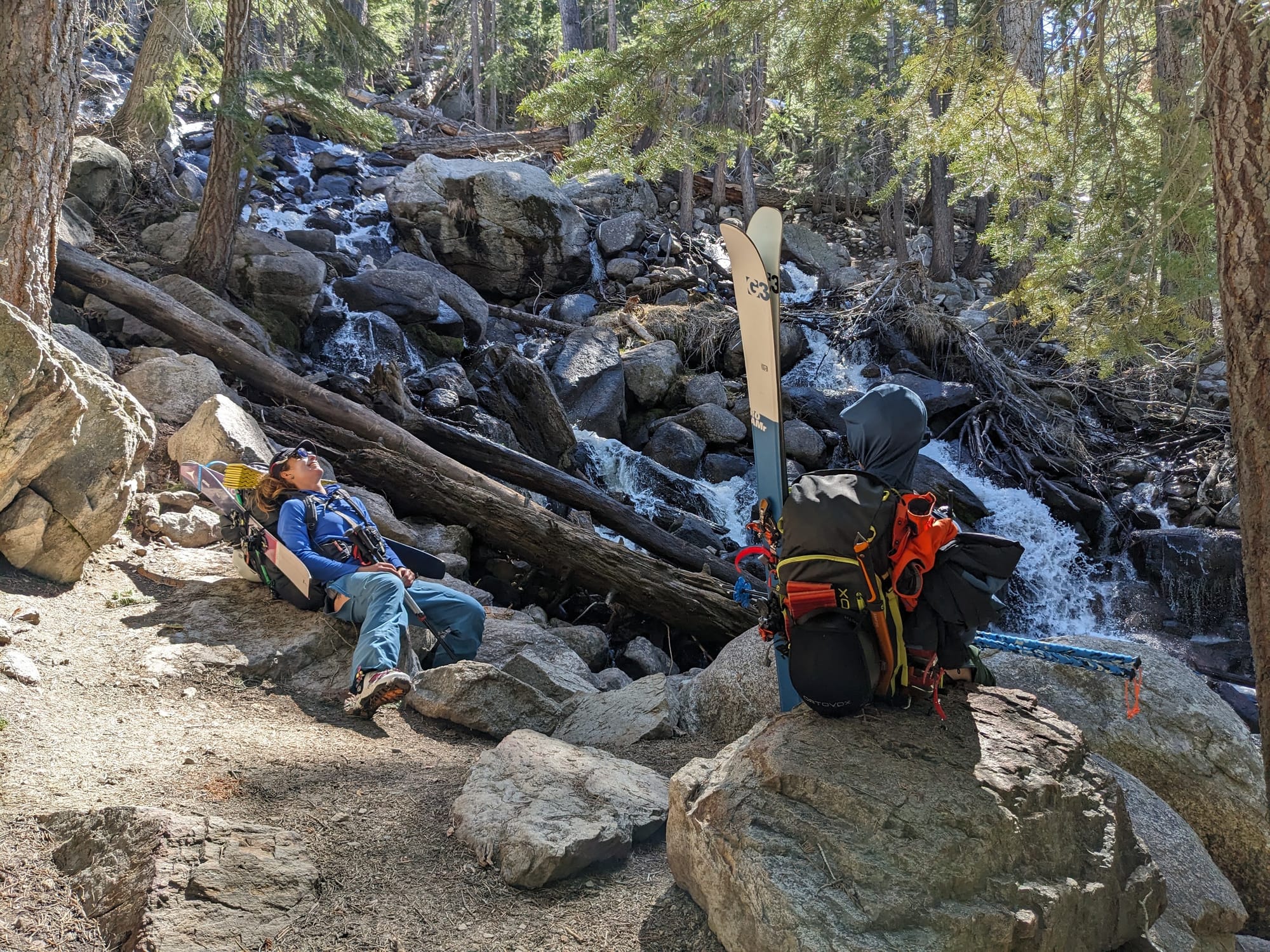
We continued following this drainage all the way down, with the idea that we would rejoin the summer hiking trail at some point near the bottom where the snow was melted out. There were several flat sections along this route where the decision to skin, walk, or push along on skis wasn't clear. We were also given some dubious advice, or at least misinterpreted it, from the other lone skier we met on the way down on where to transition to walking. If I were to do this again the only advice I'd give would be to stay to skiers right and as high as possible for as long as possible to avoid all these traps. We ended up right in the bottom of the drainage next to the creek which made travel tough through the flat and low areas difficult.
Eventually we did find the summer trail, but had dropped well bellow it and had to scramble our way back up through bushes and loose dirt. Soon after we joined it the trail starts to descend down the final steep slope with multiple long switchbacks. Hiking downhill in ski boots is terrible and by the time we reached the bottom our feet were screaming to get our boots off!
Reaching the bottom we emerge from the mountains and the forest back into a resort. Feeling slightly out of place next to the campers and day trippers around us we walked back to our car knowing we had experienced a special beauty of the Sawtooth Range. Where we had traveled was something that few others would see and that would stick with us forever and inspire many more adventures to come.
